Large airport · Malaysia

Kuching International AirportWBGG
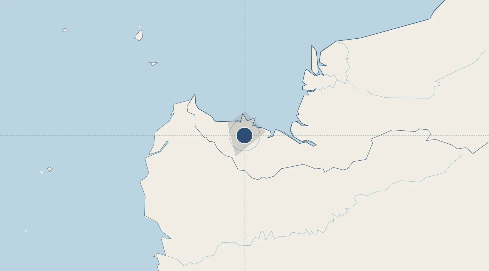
1.4874°, 110.3529°
12,402 ft
Longest runway
1
Runways
89 ft
Elevation

Runway & Layout

Kuching International Airport runway & taxiway layout
Runway & taxiway layout — OpenStreetMap (ODbL) / OurAirports

Radio Frequencies

ATIS
128.4 MHz
TWR
118.1 MHz
GND
121.9 MHz
APP
120.2 MHz
APP DIRECTOR
ACC
134.5 MHz
RDR
OurAirports

Navaids

AN NDB Kuching 402 kHz
VKG VOR-DME Kuching 114.50 MHz
OurAirports

Runways · 1

RunwayDimensions SurfaceTrue headingLit
07/25 12,402 × 151ft Asphalt 068°
OurAirports

Airport Specifications

IATA code
KCH
OurAirports
ICAO code
WBGG
OurAirports
Airport class
Large airport
OurAirports
Scheduled service
Yes
OurAirports
Runway surface
Asphalt
OurAirports
Served city
Kuching
OurAirports

Location

Location of WBGG
Natural Earth 10m (public domain) · Sarawak · WBGG · 1.49, 110.35GoogleOSMYandex

Nearby Logistics Neighbours

Airports
  1. 1Sibu Airport201 km
  2. 2Susilo Airport201 km
  3. 3Tebelian Airport210 km
  4. 4Supadio International Airport211 km
  5. 5Mukah Airport244 km
Nearest neighbours — logibook spatial index (haversine) over the source coordinates
Cities
  1. 1Pending8 km
  2. 2Kuching, Sarawak12 km
  3. 3Senari - Sarawak15 km
  4. 4Entikong60 km
  5. 5Sebuyau65 km
Nearest neighbours — logibook spatial index (haversine) over the source coordinates
Ports
  1. 1Kuching9 km
  2. 2Tg. Mani133 km
  3. 3Sarikei150 km
  4. 4Bintangor161 km
  5. 5Sibu185 km
Nearest neighbours — logibook spatial index (haversine) over the source coordinates
Trade Zones
  1. 1Sama Jaya Free Industrial Zone6 km
  2. 2Sarawak Corridor Of Renewable Energy10 km
  3. 3Kawasan Industri Suge347 km
  4. 4Mas Cargo Free Zone, Penang512 km
  5. 5KEK Tanjung Kelayang542 km
Nearest neighbours — logibook spatial index (haversine) over the source coordinates
DatabookThe Record of Consolidated Knowledge
Malaysia beyond logistics?
Browse databook

All Sources

AirportsOurAirports
Public domain
Portsthe NGA World Port Index
Public domain (US gov)
LocationsUN/LOCODE
UN/LOCODE — free
Trade Zonesthe World Bank SEZ database
CC BY 4.0
Trade ZonesOpen Zone Map
CC BY
InfrastructureOpenStreetMap
ODbL 1.0
← Malaysia airports