Channel & Berth Profile
Pilotage, Tugs & Services
Pilotage availableYES
Local assistanceYES
Tug assistanceNO
Salvage tugsNO
Potable waterYES
Diesel bunkersYES
MedicalYES
Garbage disposalYES
Facilities & Capabilities
Container—
Ro-Ro—
Liquid bulk—
Dry bulk—
Oil terminal—
Break bulk—
Dry dock—
RepairsNO
Bunkering—
Rail link—
Dangerous cargo—
ISPS security—
Harbour Specifications
Harbour size
Very Small
Harbour type
River (Natural)
Shelter
Good
Water body
South China Sea; North Pacific Ocean
Tidal range
10 m
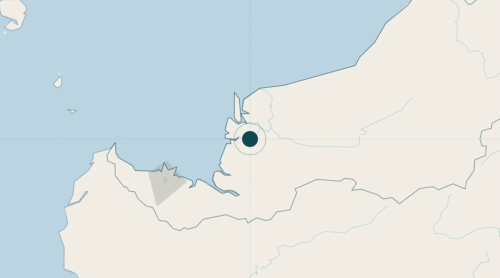
Location
Nearby Logistics Neighbours
Ports
- 1Bintangor12 km
- 2Tg. Mani21 km
- 3Sibu36 km
- 4Kuching146 km
- 5Bintulu Port212 km
Cities
- 1Tanjung Manis22 km
- 2Sibu, Sarawak37 km
- 3Sungai Merah40 km
- 4Pulau Bruit55 km
- 5Samu65 km
Airports
- 1Sibu Airport52 km
- 2Mukah Airport101 km
- 3Kuching International Airport150 km
- 4Bintulu Airport199 km
- 5Pangsuma Airport213 km
Trade Zones
- 1Sarawak Corridor Of Renewable Energy142 km
- 2Sama Jaya Free Industrial Zone144 km
- 3Mas Cargo Free Zone, Penang365 km
- 4Kawasan Industri Suge449 km
- 5Muara Export Zone508 km
DatabookThe Record of Consolidated Knowledge
Malaysia beyond logistics?