Channel & Berth Profile
Pilotage, Tugs & Services
Pilotage availableYES
Local assistanceYES
Tug assistanceYES
Potable waterYES
Diesel bunkersNO
MedicalYES
Facilities & Capabilities
Container—
Ro-Ro—
Liquid bulk—
Dry bulk—
Oil terminal—
Break bulk—
Dry dockNO
RepairsNO
BunkeringYES
Rail link—
Dangerous cargo—
ISPS security—
Harbour Specifications
Harbour size
Very Small
Harbour type
Open Roadstead
Shelter
Excellent
Water body
Natuna Sea; South China Sea; South Pacific Ocean
Tidal range
2 m
Overhead limit
No
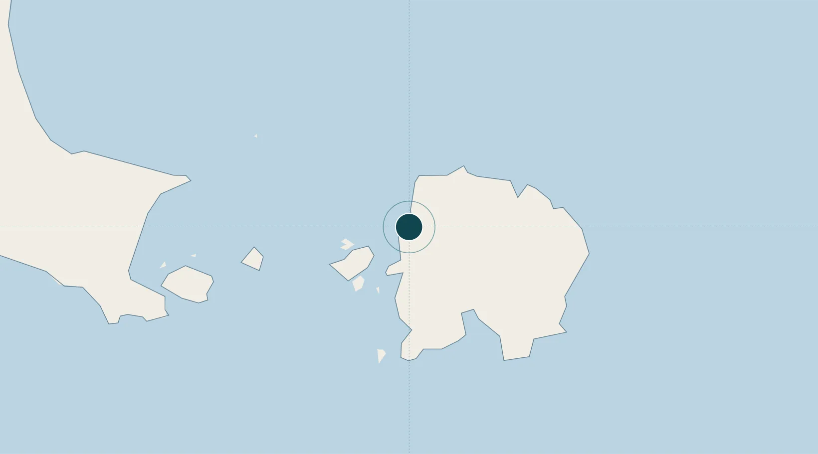
Location
Nearby Logistics Neighbours
Ports
- 1Toboali135 km
- 2Pangkalpinang181 km
- 3Widuri Marine Terminal239 km
- 4Blinyu240 km
- 5Muntok284 km
Cities
- 1Belitung33 km
- 2Toboali129 km
- 3Serdang132 km
- 4Kendawangan286 km
- 5Padang Tikar294 km
Airports
Trade Zones
DatabookThe Record of Consolidated Knowledge
Indonesia beyond logistics?