Seaport · Malaysia
KuchingMYKCH
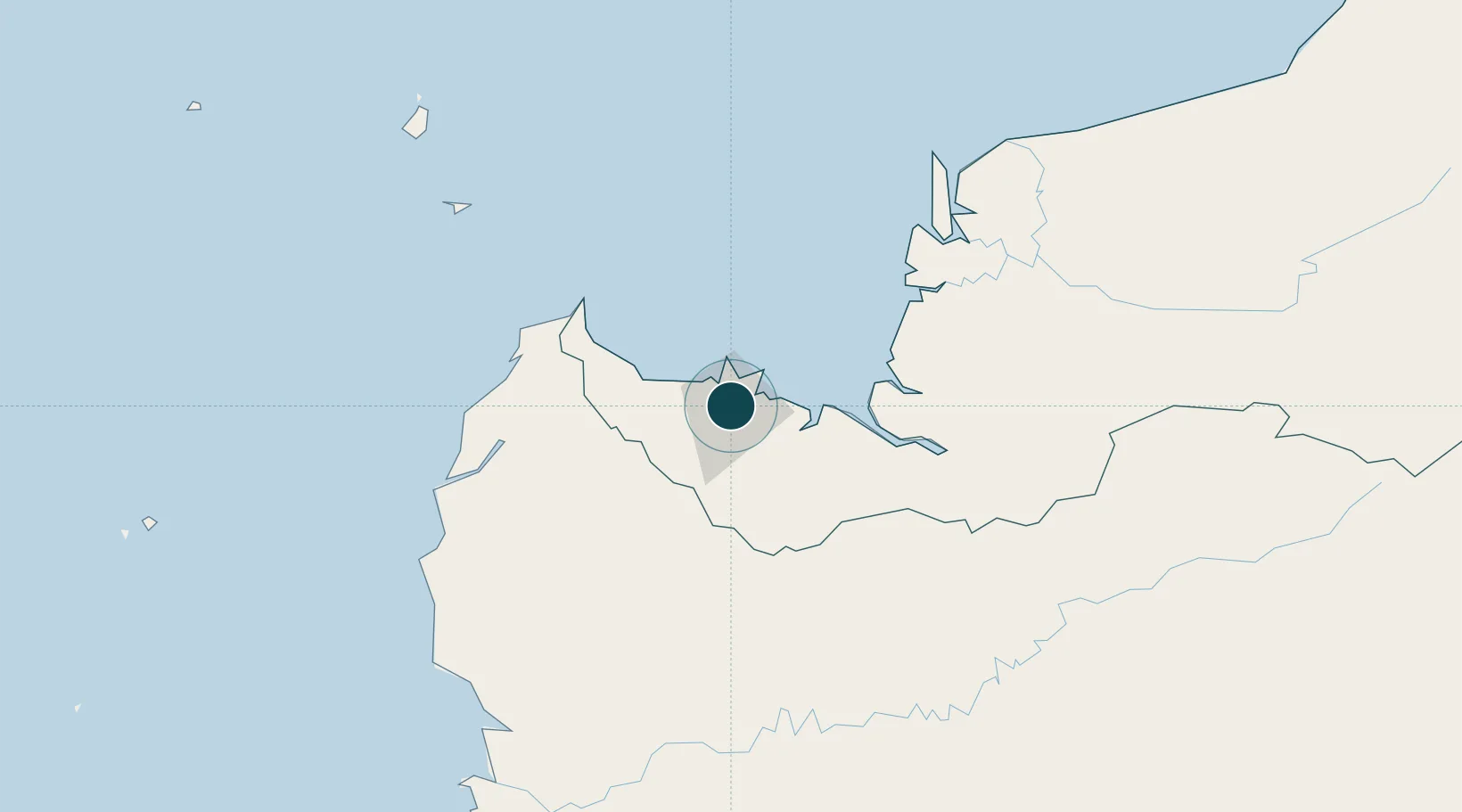
1.5667°, 110.3500°
4.9 m
Channel depth
1
Container terminals
54.7
Port liner connectivity
Channel & Berth Profile
Pilotage, Tugs & Services
Pilotage compulsoryNO
Pilotage availableYES
Pilotage advisableYES
Tug assistanceYES
Salvage tugsYES
Shore powerYES
Potable waterYES
Diesel bunkersYES
MedicalYES
Garbage disposalYES
Facilities & Capabilities
ContainerYES
Ro-RoYES
Liquid bulkYES
Dry bulkYES
Oil terminal—
Break bulkYES
Dry dockNO
RepairsNO
Bunkering—
Rail link—
Dangerous cargo—
ISPS security—
Harbour Specifications
Harbour size
Small
Harbour type
River (Natural)
Shelter
Excellent
Water body
South China Sea; North Pacific Ocean
Tidal range
4 m
Pilotage
No
Liner Connectivity
54.7
PLSCI
Port Liner Shipping Connectivity Index for Kuching, as published by UNCTAD for the latest available quarter. Higher values indicate stronger scheduled liner-shipping integration.
Shown relative to the highest per-port PLSCI in the dataset (1,657.9).
Location
Container Terminals · 1
SENARI TERMINAL KUCHING
SENA KUCHING PORT AUTHORITY (KPA)
Nearby Logistics Neighbours
Cities
- 1Pending4 km
- 2Senari - Sarawak10 km
- 3Sebuyau65 km
- 4Entikong69 km
- 5Tanjung Manis128 km
Airports
- 1Kuching International Airport9 km
- 2Sibu Airport197 km
- 3Susilo Airport209 km
- 4Tebelian Airport218 km
- 5Supadio International Airport218 km
Trade Zones
DatabookThe Record of Consolidated Knowledge
Malaysia beyond logistics?