Channel & Berth Profile
Pilotage, Tugs & Services
Pilotage availableYES
Pilotage advisableYES
Tug assistanceYES
Potable waterYES
MedicalYES
Garbage disposalYES
Facilities & Capabilities
Container—
Ro-Ro—
Liquid bulk—
Dry bulk—
Oil terminal—
Break bulk—
Dry dockNO
RepairsNO
BunkeringYES
Rail link—
Dangerous cargo—
ISPS security—
Harbour Specifications
Harbour size
Very Small
Harbour type
River (Natural)
Shelter
Fair
Water body
South China Sea; North Pacific Ocean
Tidal range
3 m
Liner Connectivity
15
PLSCI
Port Liner Shipping Connectivity Index for Tg. Mani, as published by UNCTAD for the latest available quarter. Higher values indicate stronger scheduled liner-shipping integration.
Shown relative to the highest per-port PLSCI in the dataset (1,657.9).
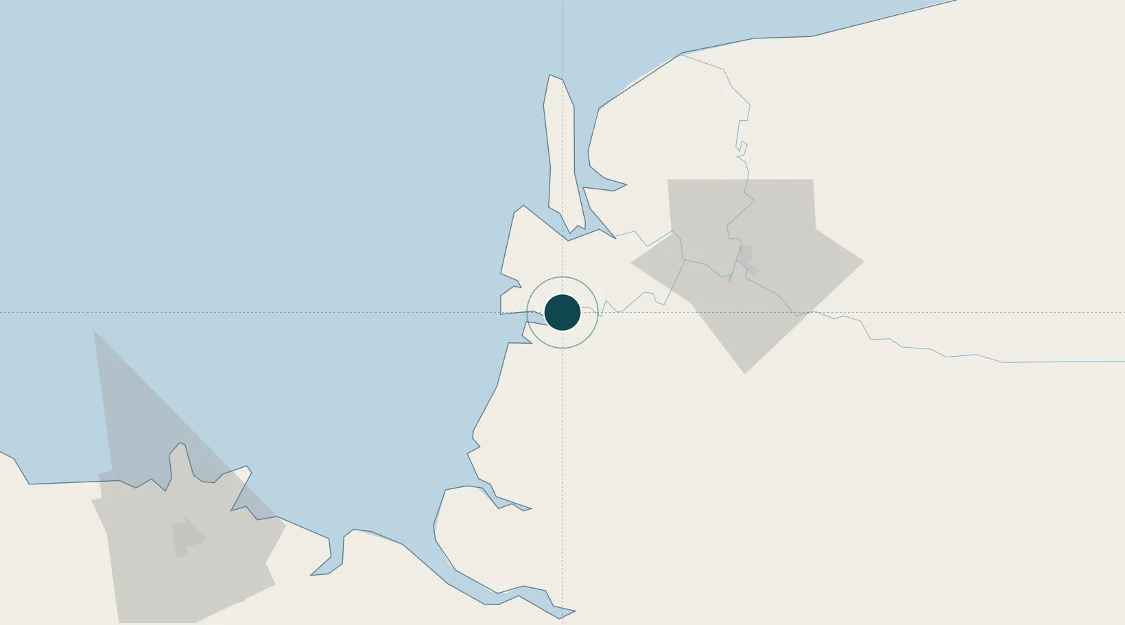
Location
Nearby Logistics Neighbours
Ports
- 1Sarikei21 km
- 2Bintangor32 km
- 3Sibu54 km
- 4Kuching129 km
- 5Bintulu Port228 km
Cities
- 1Sarikei19 km
- 2Pulau Bruit48 km
- 3Sibu, Sarawak55 km
- 4Sungai Merah57 km
- 5Samu70 km
Airports
- 1Sibu Airport72 km
- 2Mukah Airport112 km
- 3Kuching International Airport133 km
- 4Bintulu Airport215 km
- 5Pangsuma Airport229 km
Trade Zones
- 1Sarawak Corridor Of Renewable Energy125 km
- 2Sama Jaya Free Industrial Zone127 km
- 3Mas Cargo Free Zone, Penang380 km
- 4Kawasan Industri Suge428 km
- 5Muara Export Zone523 km
DatabookThe Record of Consolidated Knowledge
Malaysia beyond logistics?