Transport Functions
Port
Road
Hub Profile
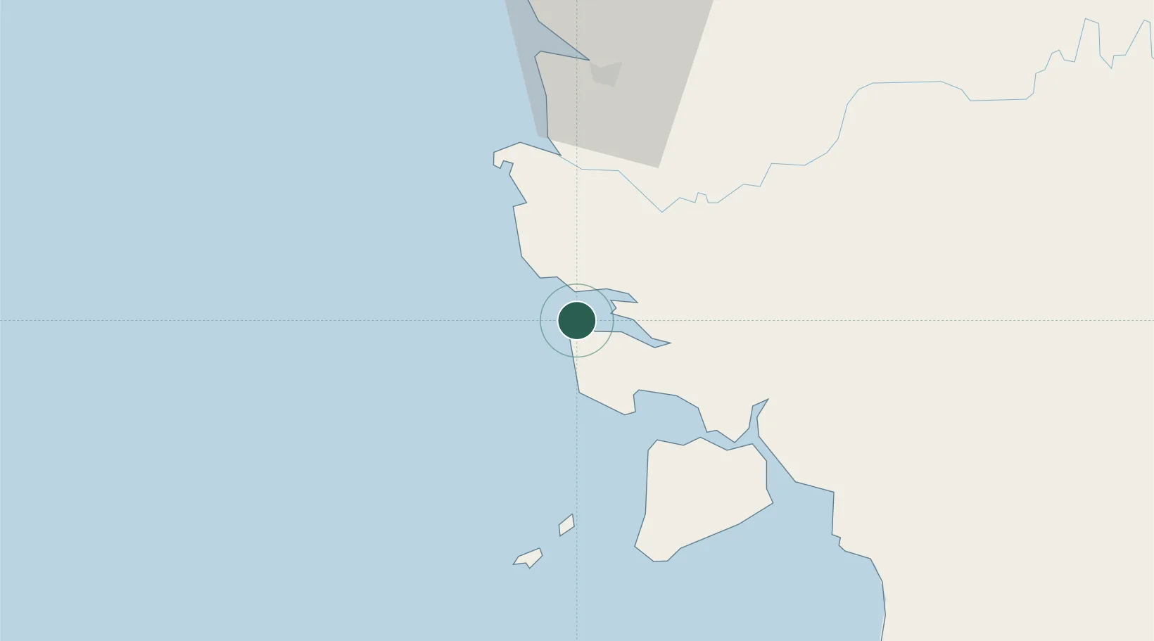
Place type
District seat
Region
West Kalimantan
Time zone
Asia/Pontianak
Elevation
8 m
Location
Nearby Logistics Neighbours
Cities
- 1Pontianak, Kalimantan73 km
- 2Sanggau172 km
- 3Entikong216 km
- 4Kendawangan232 km
- 5Pending276 km
Ports
- 1Pontianak73 km
- 2Kuching276 km
- 3Tanjungpandan294 km
- 4Kumai358 km
- 5Pangkalpinang384 km
Airports
- 1Supadio International Airport59 km
- 2Rahadi Osman Airport150 km
- 3Tebelian Airport253 km
- 4Susilo Airport259 km
- 5Kuching International Airport268 km
Trade Zones
DatabookThe Record of Consolidated Knowledge
Indonesia beyond logistics?