Specialized Zone · Malaysia

Sama Jaya Free Industrial Zone Active
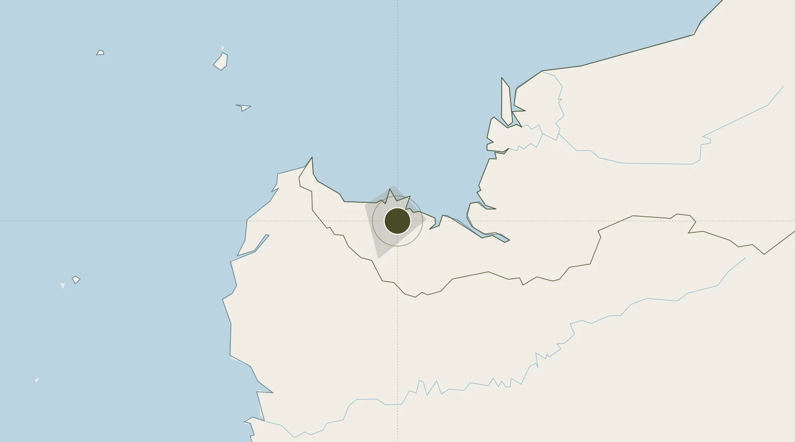
1.5215°, 110.3967°
813 ha
Zone area
7.2 km
Nearest port
6.2 km
Nearest airport

Gateway access

Nearest neighbours — logibook spatial index (haversine) over the source coordinates

Zone profile

Zone type
Specialized Zone
Open Zone Map
Specialization
Tech
Open Zone Map
Region
Sarawak
Open Zone Map
Status
Active
Open Zone Map
Management
Public
Open Zone Map
Operator
Ministry of Industrial & Entrepreneur Development Sarawak
Open Zone Map
Legal framework
Free Zones Act of 1990 (Act 438)
Open Zone Map

Location

Location of ozm-2819
Natural Earth 10m (public domain) · Sarawak · ozm-2819 · 1.52, 110.40GoogleOSMYandex

Nearby Logistics Neighbours

Ports
  1. 1Kuching7 km
  2. 2Tg. Mani127 km
  3. 3Sarikei144 km
  4. 4Bintangor155 km
  5. 5Sibu179 km
Nearest neighbours — logibook spatial index (haversine) over the source coordinates
Airports
  1. 1Kuching International Airport6 km
  2. 2Sibu Airport195 km
  3. 3Susilo Airport202 km
  4. 4Tebelian Airport210 km
  5. 5Supadio International Airport216 km
Nearest neighbours — logibook spatial index (haversine) over the source coordinates
Cities
  1. 1Pending4 km
  2. 2Kuching, Sarawak7 km
  3. 3Senari - Sarawak10 km
  4. 4Sebuyau60 km
  5. 5Entikong64 km
Nearest neighbours — logibook spatial index (haversine) over the source coordinates
Trade Zones
  1. 1Sarawak Corridor Of Renewable Energy4 km
  2. 2Kawasan Industri Suge350 km
  3. 3Mas Cargo Free Zone, Penang506 km
  4. 4KEK Tanjung Kelayang548 km
  5. 5KEK Galang Batang641 km
Nearest neighbours — logibook spatial index (haversine) over the source coordinates
DatabookThe Record of Consolidated Knowledge
Malaysia beyond logistics?
Browse databook

All Sources

Trade ZonesOpen Zone Map
CC BY
Portsthe NGA World Port Index
Public domain (US gov)
AirportsOurAirports
Public domain
LocationsUN/LOCODE
UN/LOCODE — free
← Malaysia trade zones