Transport Functions
Road
Multimodal
Hub Profile
Region
KB
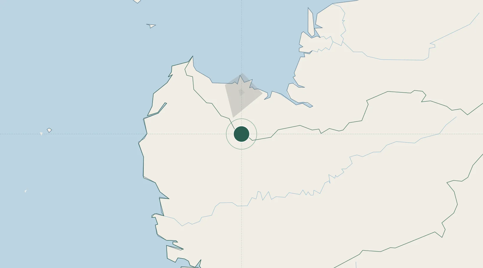
Location
Nearby Logistics Neighbours
Cities
- 1Pending67 km
- 2Kuching, Sarawak71 km
- 3Senari - Sarawak73 km
- 4Sebuyau90 km
- 5Sanggau97 km
Airports
- 1Kuching International Airport60 km
- 2Susilo Airport159 km
- 3Supadio International Airport162 km
- 4Tebelian Airport166 km
- 5Nanga Pinoh Airport212 km
Trade Zones
DatabookThe Record of Consolidated Knowledge
Indonesia beyond logistics?