Large airport · Indonesia
Supadio International AirportWIOO
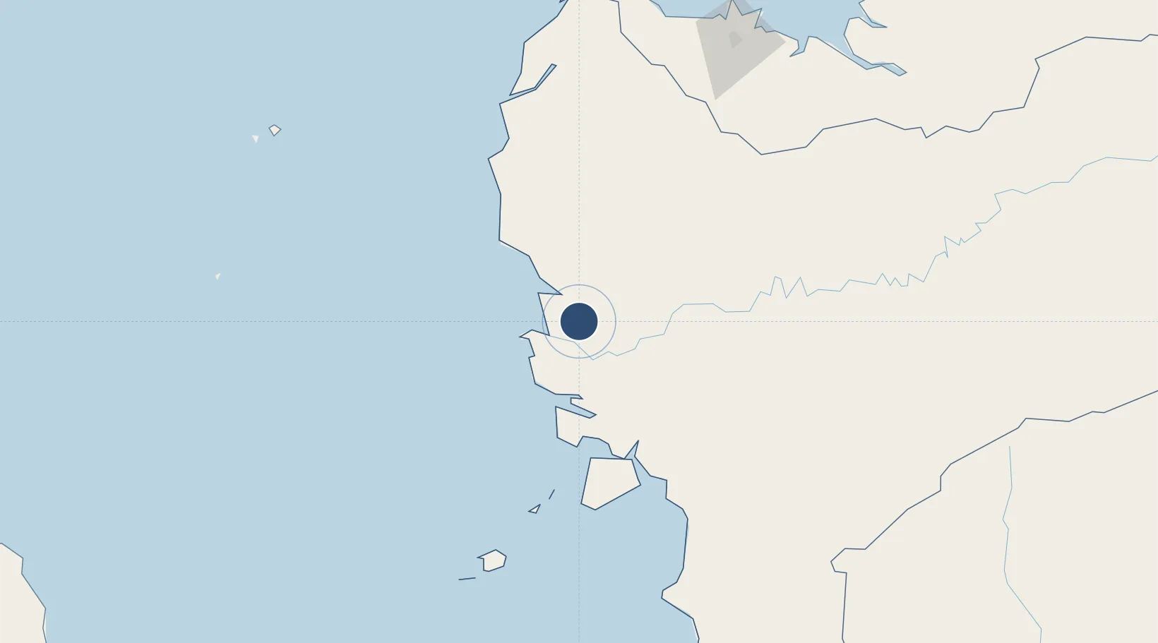
-0.1523°, 109.4045°
7,380 ft
Longest runway
1
Runways
10 ft
Elevation
Runway & Layout

Radio Frequencies
ATIS
127.4 MHz
TWR
118.3 MHz
APP
119 MHz
PONTIANAK APP
INFO
895.7 MHz
PONTIAK INFO
Navaids
AT NDB Pontianak 245 kHz
PNK VOR-DME Pontianak 113.20 MHz
Runways · 1
| Runway | Dimensions | Surface | True heading | Lit |
|---|---|---|---|---|
| 15/33 | 7,380 × 98ft | Asphalt | 158° | ✓ |
Airport Specifications
IATA code
PNK
ICAO code
WIOO
Airport class
Large airport
Scheduled service
Yes
Runway surface
Asphalt
Served city
Pontianak
Location
Nearby Logistics Neighbours
Airports
- 1Rahadi Osman Airport195 km
- 2Kuching International Airport211 km
- 3Tebelian Airport229 km
- 4Susilo Airport231 km
- 5Nanga Pinoh Airport261 km
Cities
- 1Pontianak, Kalimantan18 km
- 2Padang Tikar59 km
- 3Sanggau136 km
- 4Entikong162 km
- 5Pending218 km
Ports
- 1Pontianak17 km
- 2Kuching218 km
- 3Tg. Mani335 km
- 4Sarikei347 km
- 5Tanjungpandan350 km
Trade Zones
- 1Sama Jaya Free Industrial Zone216 km
- 2Sarawak Corridor Of Renewable Energy220 km
- 3KEK Tanjung Kelayang332 km
- 4Kawasan Industri Suge396 km
- 5KEK Galang Batang541 km
DatabookThe Record of Consolidated Knowledge
Indonesia beyond logistics?