UN/LOCODE hub · Indonesia
IDPNK
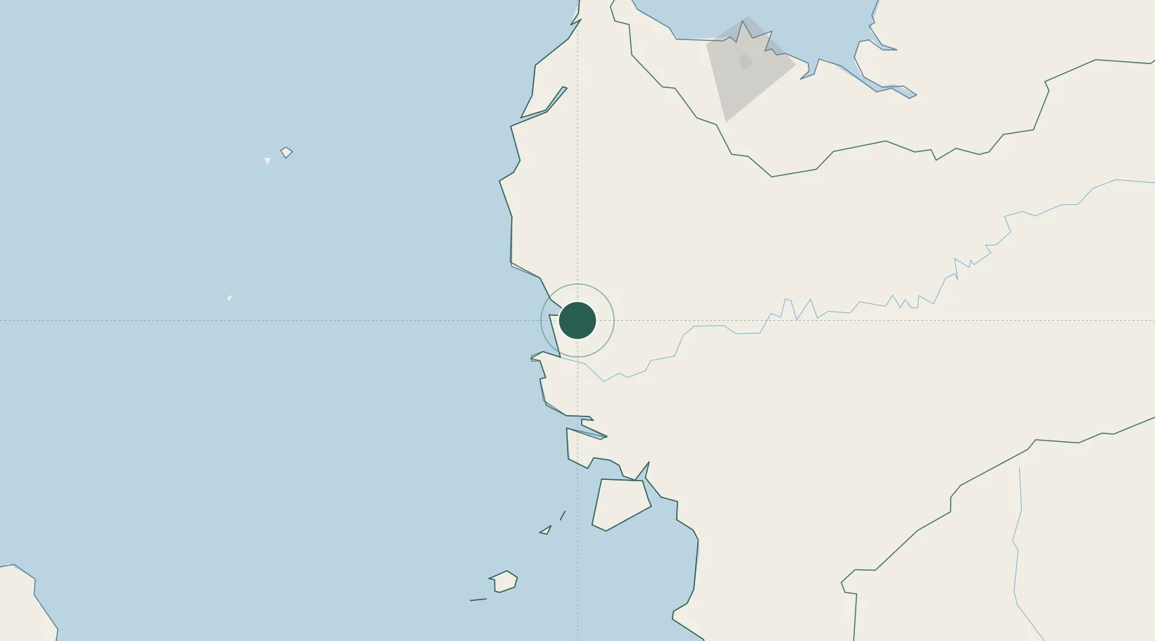
Pontianak, Kalimantan
-0.0145°, 109.3292°
3
Transport functions
1
Container terminals
Transport Functions
Port
Airport
Postal
Hub Profile
Logistics facilities
4
Container terminals
1
Location
Nearby Logistics Neighbours
Cities
- 1Padang Tikar73 km
- 2Sanggau142 km
- 3Entikong156 km
- 4Pending210 km
- 5Kuching, Sarawak215 km
Ports
- 1Kuching209 km
- 2Tg. Mani329 km
- 3Sarikei342 km
- 4Bintangor353 km
- 5Tanjungpandan358 km
Airports
- 1Supadio International Airport18 km
- 2Kuching International Airport202 km
- 3Rahadi Osman Airport213 km
- 4Tebelian Airport237 km
- 5Susilo Airport239 km
Trade Zones
- 1Sama Jaya Free Industrial Zone208 km
- 2Sarawak Corridor Of Renewable Energy212 km
- 3KEK Tanjung Kelayang340 km
- 4Kawasan Industri Suge378 km
- 5KEK Galang Batang529 km
DatabookThe Record of Consolidated Knowledge
Indonesia beyond logistics?