Transport Functions
Port
Hub Profile
Place type
Provincial seat
Region
West Kalimantan
Time zone
Asia/Pontianak
Elevation
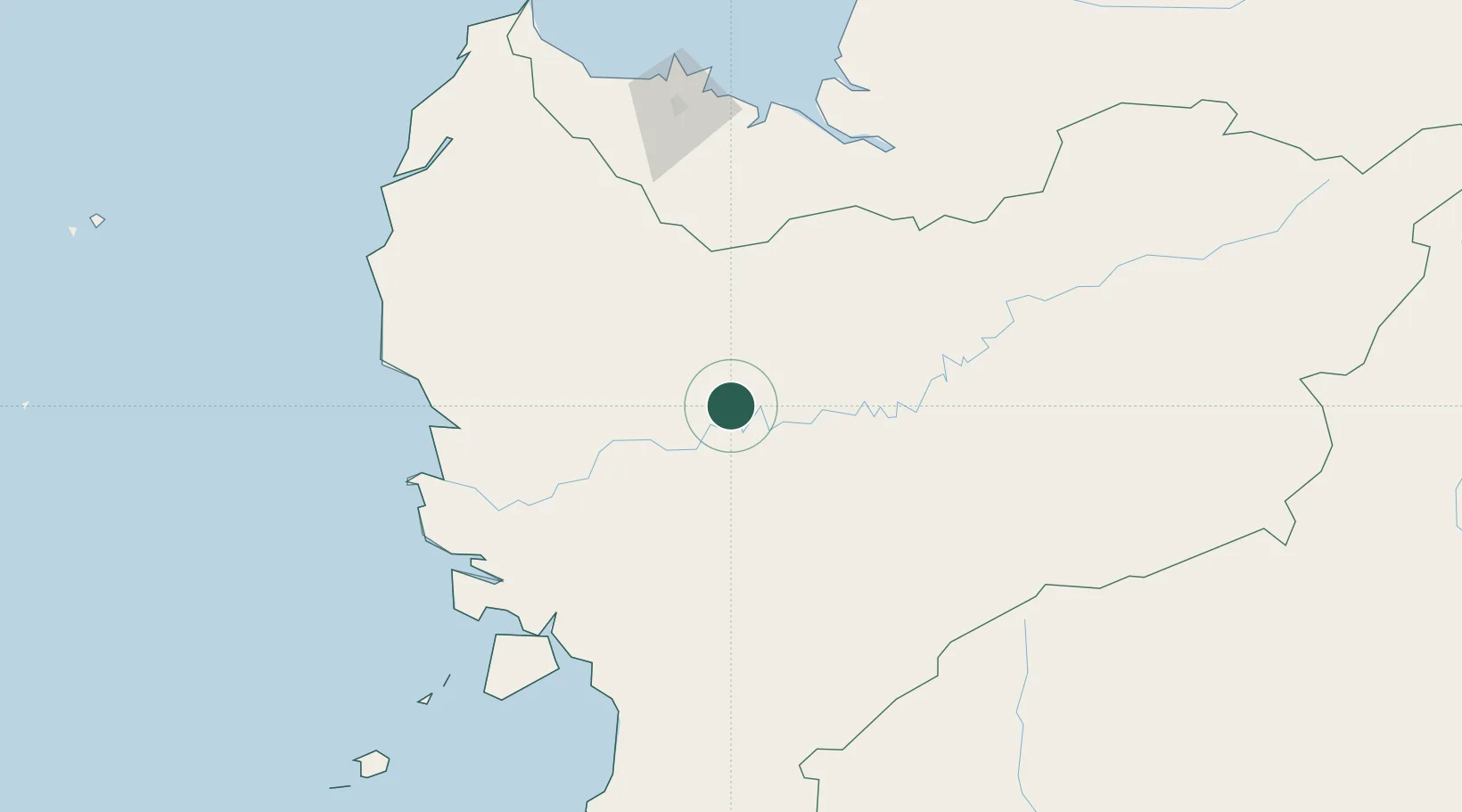
49 m
Location
Nearby Logistics Neighbours
Cities
- 1Entikong97 km
- 2Pontianak, Kalimantan142 km
- 3Sebuyau160 km
- 4Pending161 km
- 5Kuching, Sarawak164 km
Airports
- 1Tebelian Airport97 km
- 2Susilo Airport97 km
- 3Supadio International Airport136 km
- 4Nanga Pinoh Airport138 km
- 5Kuching International Airport155 km
Trade Zones
- 1Sama Jaya Free Industrial Zone158 km
- 2Sarawak Corridor Of Renewable Energy162 km
- 3KEK Tanjung Kelayang443 km
- 4Kawasan Industri Suge457 km
- 5Mas Cargo Free Zone, Penang600 km
DatabookThe Record of Consolidated Knowledge
Indonesia beyond logistics?