Diversified Zone · Indonesia

Kawasan Industri Suge Under Development
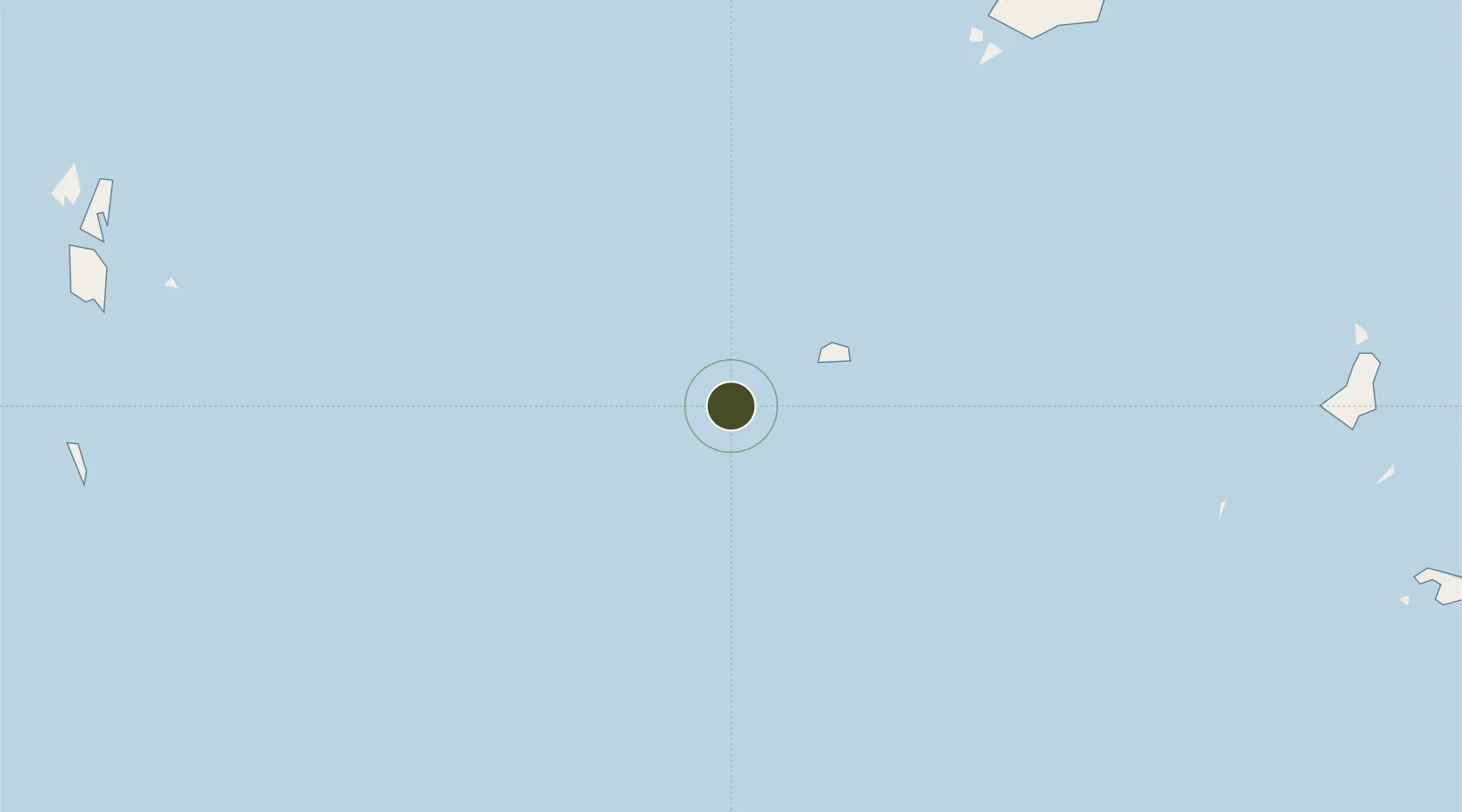
2.8943°, 107.5663°
1,415 ha
Zone area
174.6 km
Nearest port
145.1 km
Nearest airport

Gateway access

Nearest neighbours — logibook spatial index (haversine) over the source coordinates

Zone profile

Zone type
Diversified Zone
Open Zone Map
Region
Kepulauan Riau
Open Zone Map
Status
Under Development
Open Zone Map
Management
Public
Open Zone Map
Operator
BUMD Kabupaten Belitung
Open Zone Map
Legal framework
The Law No 3. Article 106, issued in 2014
Open Zone Map

Location

Location of ozm-2402
Natural Earth 10m (public domain) · Kepulauan Riau · ozm-2402 · 2.89, 107.57GoogleOSMYandex

Nearby Logistics Neighbours

Ports
  1. 1Udang Oilfield175 km
  2. 2Belanak Field Terminal202 km
  3. 3Belida Marine Terminal303 km
  4. 4Kuching343 km
  5. 5Pontianak379 km
Nearest neighbours — logibook spatial index (haversine) over the source coordinates
Airports
  1. 1Ranai Airport145 km
  2. 2Kuching International Airport347 km
  3. 3Tioman Airport378 km
  4. 4Supadio International Airport396 km
  5. 5Raja Haji Fisabilillah International Airport402 km
Nearest neighbours — logibook spatial index (haversine) over the source coordinates
Cities
  1. 1Ranai145 km
  2. 2Terempa154 km
  3. 3Udang Natuna Terminal175 km
  4. 4Belanak Terminal205 km
  5. 5Kakap Natuna Terminal296 km
Nearest neighbours — logibook spatial index (haversine) over the source coordinates
Trade Zones
  1. 1KEK Galang Batang391 km
  2. 2Bintan Industrial Estate423 km
  3. 3Kabil Integrated Industrial Estate (KIIE)430 km
  4. 4Airport Logistics Park Of Singapore431 km
  5. 5Taiwan International Industrial Estate432 km
Nearest neighbours — logibook spatial index (haversine) over the source coordinates
DatabookThe Record of Consolidated Knowledge
Indonesia beyond logistics?
Browse databook

All Sources

Trade ZonesOpen Zone Map
CC BY
Portsthe NGA World Port Index
Public domain (US gov)
AirportsOurAirports
Public domain
LocationsUN/LOCODE
UN/LOCODE — free
← Indonesia trade zones