Large airport · Indonesia
Pattimura International AirportWAPP
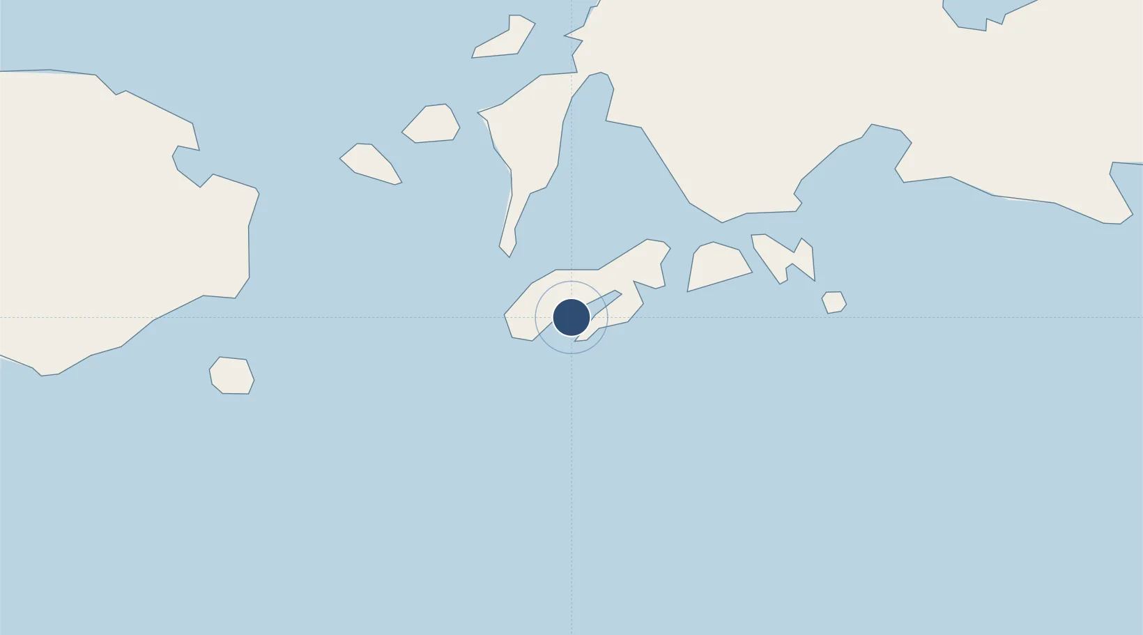
-3.7103°, 128.0890°
8,202 ft
Longest runway
1
Runways
33 ft
Elevation
Runway & Layout

Radio Frequencies
ATIS
125.4 MHz
TWR
122.2 MHz
APP
121 MHz
AMBON APP
INFO
891.8 MHz
AMBON INFO
Navaids
AMN VOR-DME Ambon 115.50 MHz
OH NDB Ambon 340 kHz
PMA VOR-DME Pattimura 113.60 MHz
Runways · 1
| Runway | Dimensions | Surface | True heading | Lit |
|---|---|---|---|---|
| 04/22 | 8,202 × 148ft | Asphalt | 045° | ✓ |
Airport Specifications
IATA code
AMQ
ICAO code
WAPP
Airport class
Large airport
Scheduled service
Yes
Runway surface
Asphalt
Served city
Ambon
Location
Nearby Logistics Neighbours
Airports
- 1Namniwel Airport139 km
- 2Marinda Airport472 km
- 3Fakfak Airport472 km
- 4Domine Eduard Osok Airport474 km
- 5Jos Orno Imsula Airport493 km
Cities
- 1Ambon, Molucas10 km
- 2Loki46 km
- 3Piru72 km
- 4Wainibe187 km
- 5Wamsasi214 km
Trade Zones
- 1KEK Sorong460 km
- 2Atauro Special Economic Zone572 km
- 3KEK Morotai647 km
- 4Bitung Special Economic Zone657 km
- 5Morowali Industrial Park666 km
DatabookThe Record of Consolidated Knowledge
Indonesia beyond logistics?