Medium airport · Indonesia

Namniwel AirportWAPN
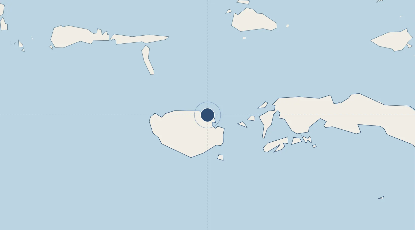
-3.1432°, 126.9765°
5,249 ft
Longest runway
1
Runways
7 ft
Elevation

Runway & Layout

Namniwel Airport runway & taxiway layout
Runway & taxiway layout — OpenStreetMap (ODbL) / OurAirports

Runways · 1

RunwayDimensions SurfaceTrue headingLit
11/29 5,249 × 98ft Asphalt
OurAirports

Airport Specifications

IATA code
NAM
OurAirports
ICAO code
WAPN
OurAirports
Airport class
Medium airport
OurAirports
Scheduled service
Yes
OurAirports
Runway surface
Asphalt
OurAirports
Served city
Namniwel
OurAirports

Location

Location of WAPN
Natural Earth 10m (public domain) · Maluku · WAPN · -3.14, 126.98GoogleOSMYandex

Nearby Logistics Neighbours

Airports
  1. 1Pattimura International Airport139 km
  2. 2Matahora Airport441 km
  3. 3Sultan Babullah Airport444 km
  4. 4Haluoleo Airport517 km
  5. 5Marinda Airport519 km
Nearest neighbours — logibook spatial index (haversine) over the source coordinates
Cities
  1. 1Wainibe50 km
  2. 2Wamsasi102 km
  3. 3Loki121 km
  4. 4Piru134 km
  5. 5Ambon, Molucas147 km
Nearest neighbours — logibook spatial index (haversine) over the source coordinates
Ports
  1. 1Namlea20 km
  2. 2Ambon145 km
  3. 3Wahai283 km
  4. 4Labuha284 km
  5. 5Bula391 km
Nearest neighbours — logibook spatial index (haversine) over the source coordinates
Trade Zones
  1. 1KEK Sorong529 km
  2. 2Morowali Industrial Park536 km
  3. 3Bitung Special Economic Zone546 km
  4. 4KEK Likupang573 km
  5. 5Atauro Special Economic Zone585 km
Nearest neighbours — logibook spatial index (haversine) over the source coordinates
DatabookThe Record of Consolidated Knowledge
Indonesia beyond logistics?
Browse databook

All Sources

AirportsOurAirports
Public domain
Portsthe NGA World Port Index
Public domain (US gov)
LocationsUN/LOCODE
UN/LOCODE — free
Trade Zonesthe World Bank SEZ database
CC BY 4.0
Trade ZonesOpen Zone Map
CC BY
InfrastructureOpenStreetMap
ODbL 1.0
← Indonesia airports