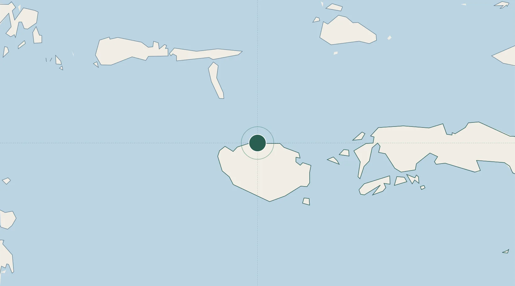
UN/LOCODE hub · Indonesia
IDWAI

Wainibe

-3.0667°, 126.5333°
1
Transport functions

Transport Functions

Port
UN/LOCODE

Hub Profile

Region
MA
GeoNames

Location

Location of IDWAI
Natural Earth 10m (public domain) · MA · IDWAI · -3.07, 126.53GoogleOSMYandex

Nearby Logistics Neighbours

Cities
  1. 1Wamsasi69 km
  2. 2Loki170 km
  3. 3Piru183 km
  4. 4Ambon, Molucas195 km
  5. 5Labuha, Molucas292 km
Nearest neighbours — logibook spatial index (haversine) over the source coordinates
Ports
  1. 1Namlea66 km
  2. 2Ambon194 km
  3. 3Labuha290 km
  4. 4Wahai331 km
  5. 5Ternate438 km
Nearest neighbours — logibook spatial index (haversine) over the source coordinates
Airports
  1. 1Namniwel Airport50 km
  2. 2Pattimura International Airport187 km
  3. 3Matahora Airport406 km
  4. 4Sultan Babullah Airport444 km
  5. 5Haluoleo Airport470 km
Nearest neighbours — logibook spatial index (haversine) over the source coordinates
Trade Zones
  1. 1Morowali Industrial Park487 km
  2. 2Bitung Special Economic Zone520 km
  3. 3KEK Likupang550 km
  4. 4KEK Sorong570 km
  5. 5Atauro Special Economic Zone582 km
Nearest neighbours — logibook spatial index (haversine) over the source coordinates
DatabookThe Record of Consolidated Knowledge
Indonesia beyond logistics?
Browse databook

All Sources

LocationsUN/LOCODE
UN/LOCODE — free
Portsthe NGA World Port Index
Public domain (US gov)
AirportsOurAirports
Public domain
Trade Zonesthe World Bank SEZ database
CC BY 4.0
Trade ZonesOpen Zone Map
CC BY
← Indonesia locations