Medium airport · Indonesia

Matahora AirportWAWD
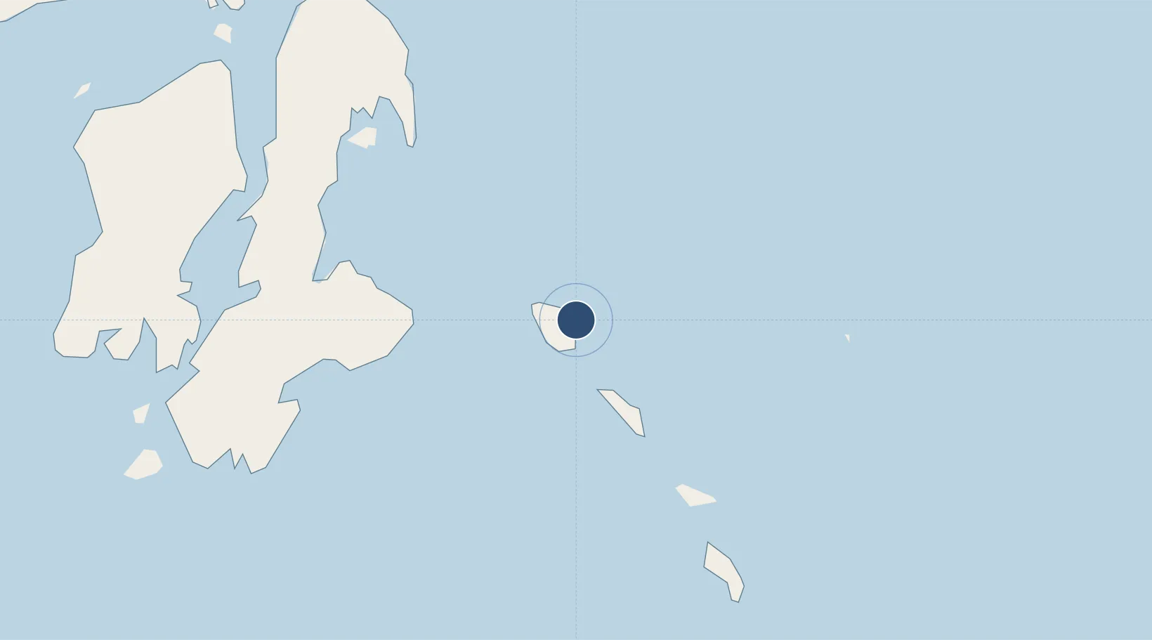
-5.2921°, 123.6362°
6,959 ft
Longest runway
1
Runways
88 ft
Elevation

Runway & Layout

Matahora Airport runway & taxiway layout
Runway & taxiway layout — OpenStreetMap (ODbL) / OurAirports

Runways · 1

RunwayDimensions SurfaceTrue headingLit
04/22 6,959 × —ft Asphalt
OurAirports

Airport Specifications

IATA code
WNI
OurAirports
ICAO code
WAWD
OurAirports
Airport class
Medium airport
OurAirports
Scheduled service
Yes
OurAirports
Runway surface
Asphalt
OurAirports
Served city
Wangi-wangi Island
OurAirports

Location

Location of WAWD
Natural Earth 10m (public domain) · Sulawesi Tenggara · WAWD · -5.29, 123.64GoogleOSMYandex

Nearby Logistics Neighbours

Airports
  1. 1Haluoleo Airport191 km
  2. 2Sangia Nibandera Airport257 km
  3. 3Alor Island - Mali Airport333 km
  4. 4Larantuka Gewayentana Airport339 km
  5. 5Selayar - Haji Aroeppala Airport367 km
Nearest neighbours — logibook spatial index (haversine) over the source coordinates
Cities
  1. 1Kendari, Sulawesi185 km
  2. 2Pomalaa, Sulawesi267 km
  3. 3Kolaka268 km
  4. 4Kalabahi339 km
  5. 5Wamsasi340 km
Nearest neighbours — logibook spatial index (haversine) over the source coordinates
Ports
  1. 1Raha Roadstead111 km
  2. 2Baubau115 km
  3. 3Kendari188 km
  4. 4Pomalaa258 km
  5. 5Larantuka348 km
Nearest neighbours — logibook spatial index (haversine) over the source coordinates
Trade Zones
  1. 1Morowali Industrial Park320 km
  2. 2Atauro Special Economic Zone392 km
  3. 3Bantaeng Industrial Park (BIP)407 km
  4. 4Oecusse Ambeno Enclave Special Zone For Social Market Economy (Zeesm)455 km
  5. 5Kawasan Industri Makassar459 km
Nearest neighbours — logibook spatial index (haversine) over the source coordinates
DatabookThe Record of Consolidated Knowledge
Indonesia beyond logistics?
Browse databook

All Sources

AirportsOurAirports
Public domain
Portsthe NGA World Port Index
Public domain (US gov)
LocationsUN/LOCODE
UN/LOCODE — free
Trade Zonesthe World Bank SEZ database
CC BY 4.0
Trade ZonesOpen Zone Map
CC BY
InfrastructureOpenStreetMap
ODbL 1.0
← Indonesia airports