Transport Functions
Port
Hub Profile
Place type
Provincial seat
Region
Maluku
Time zone
Asia/Jayapura
Elevation
25 m
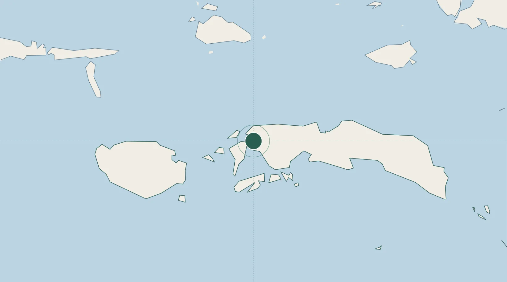
Location
Nearby Logistics Neighbours
Cities
- 1Loki30 km
- 2Ambon, Molucas70 km
- 3Wainibe183 km
- 4Wamsasi231 km
- 5Labuha, Molucas283 km
Airports
- 1Pattimura International Airport72 km
- 2Namniwel Airport134 km
- 3Marinda Airport411 km
- 4Domine Eduard Osok Airport421 km
- 5Sultan Babullah Airport443 km
Trade Zones
- 1KEK Sorong409 km
- 2KEK Morotai575 km
- 3Bitung Special Economic Zone603 km
- 4KEK Likupang626 km
- 5Atauro Special Economic Zone640 km
DatabookThe Record of Consolidated Knowledge
Indonesia beyond logistics?