UN/LOCODE hub · Indonesia
IDWSS

Wamsasi

-3.5667°, 126.1667°
1
Transport functions

Transport Functions

Port
UN/LOCODE

Hub Profile

Region
MA
GeoNames

Location

Location of IDWSS
Natural Earth 10m (public domain) · MA · IDWSS · -3.57, 126.17GoogleOSMYandex

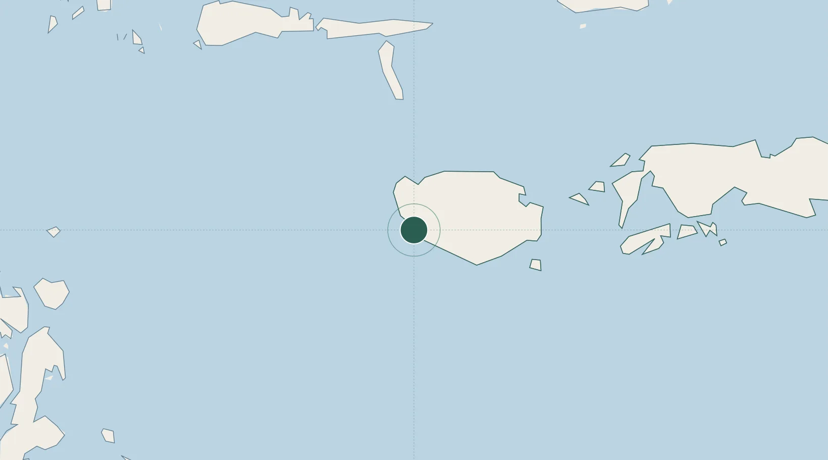
Nearby Logistics Neighbours

Cities
  1. 1Wainibe69 km
  2. 2Loki211 km
  3. 3Ambon, Molucas224 km
  4. 4Piru231 km
  5. 5Labuha, Molucas359 km
Nearest neighbours — logibook spatial index (haversine) over the source coordinates
Ports
  1. 1Namlea107 km
  2. 2Ambon222 km
  3. 3Labuha357 km
  4. 4Wahai380 km
  5. 5Kendari400 km
Nearest neighbours — logibook spatial index (haversine) over the source coordinates
Airports
  1. 1Namniwel Airport102 km
  2. 2Pattimura International Airport214 km
  3. 3Matahora Airport340 km
  4. 4Haluoleo Airport420 km
  5. 5Syukuran Aminuddin Amir Airport470 km
Nearest neighbours — logibook spatial index (haversine) over the source coordinates
Trade Zones
  1. 1Morowali Industrial Park453 km
  2. 2Atauro Special Economic Zone521 km
  3. 3Bitung Special Economic Zone564 km
  4. 4KEK Likupang594 km
  5. 5KEK Sorong631 km
Nearest neighbours — logibook spatial index (haversine) over the source coordinates
DatabookThe Record of Consolidated Knowledge
Indonesia beyond logistics?
Browse databook

All Sources

LocationsUN/LOCODE
UN/LOCODE — free
Portsthe NGA World Port Index
Public domain (US gov)
AirportsOurAirports
Public domain
Trade Zonesthe World Bank SEZ database
CC BY 4.0
Trade ZonesOpen Zone Map
CC BY
← Indonesia locations