Transport Functions
Port
Hub Profile
Place type
Populated place
Region
Maluku
Time zone
Asia/Jayapura
Elevation
8 m
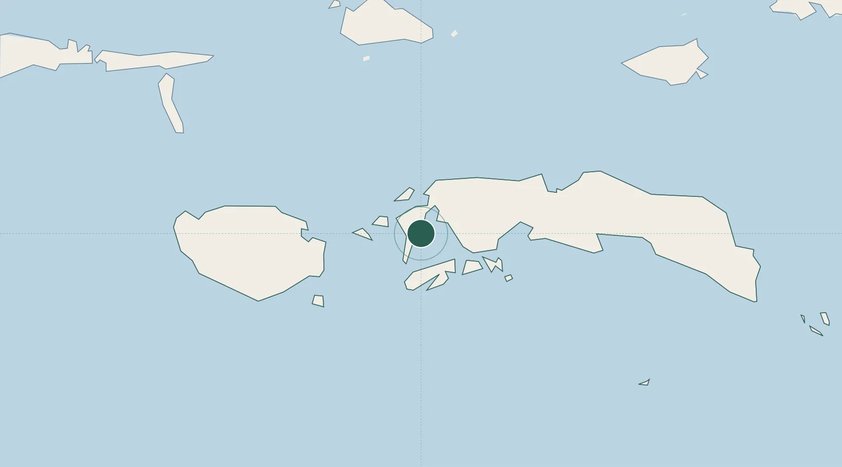
Location
Nearby Logistics Neighbours
Cities
- 1Piru30 km
- 2Ambon, Molucas46 km
- 3Wainibe170 km
- 4Wamsasi211 km
- 5Labuha, Molucas305 km
Airports
- 1Pattimura International Airport46 km
- 2Namniwel Airport121 km
- 3Marinda Airport440 km
- 4Domine Eduard Osok Airport448 km
- 5Sultan Babullah Airport465 km
Trade Zones
- 1KEK Sorong436 km
- 2KEK Morotai602 km
- 3Atauro Special Economic Zone610 km
- 4Bitung Special Economic Zone616 km
- 5KEK Likupang641 km
DatabookThe Record of Consolidated Knowledge
Indonesia beyond logistics?