Medium airport · Indonesia

Mopah International AirportWAKK
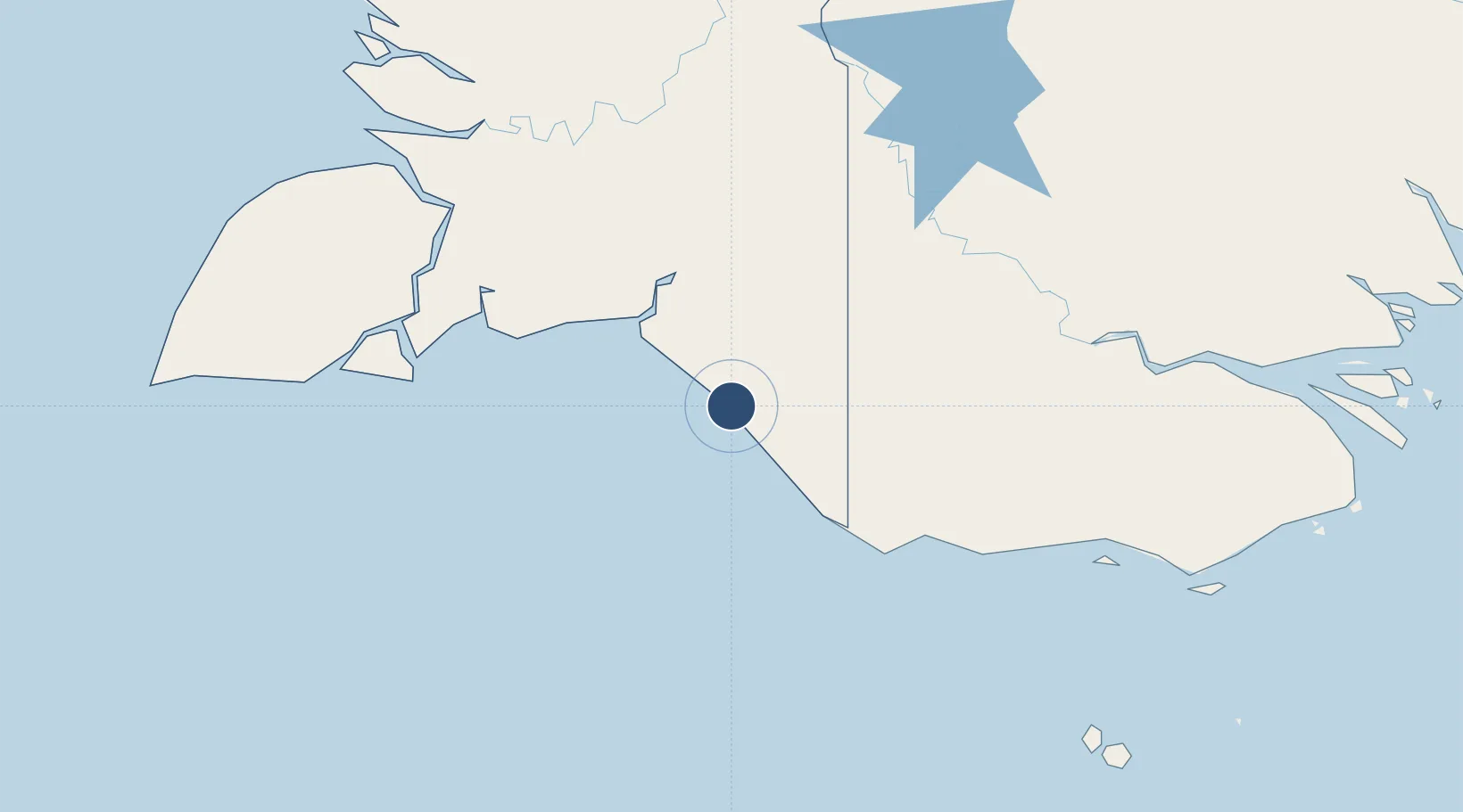
-8.5239°, 140.4197°
6,070 ft
Longest runway
1
Runways
10 ft
Elevation

Runway & Layout

Mopah International Airport runway & taxiway layout
Runway & taxiway layout — OpenStreetMap (ODbL) / OurAirports

Radio Frequencies

TWR
122.2 MHz
FSS
558 MHz
MERAUKE INFO
OurAirports

Navaids

MKE VOR-DME Merauke 115.80 MHz
ZP NDB Merauke 253 kHz
OurAirports

Runways · 1

RunwayDimensions SurfaceTrue headingLit
16/34 6,070 × 98ft Asphalt 160°
OurAirports

Airport Specifications

IATA code
MKQ
OurAirports
ICAO code
WAKK
OurAirports
Airport class
Medium airport
OurAirports
Scheduled service
Yes
OurAirports
Runway surface
Asphalt
OurAirports
Served city
Merauke
OurAirports

Location

Location of WAKK
Natural Earth 10m (public domain) · Papua · WAKK · -8.52, 140.42GoogleOSMYandex

Nearby Logistics Neighbours

Airports
  1. 1Obo Airport144 km
  2. 2Bosset Airport162 km
  3. 3Lake Murray Airport206 km
  4. 4Boigu Island Airport213 km
  5. 5Mabuiag Island Airport251 km
Nearest neighbours — logibook spatial index (haversine) over the source coordinates
Cities
  1. 1Aiambak160 km
  2. 2Wanam181 km
  3. 3Asike208 km
  4. 4Boigu Island214 km
  5. 5Kassue217 km
Nearest neighbours — logibook spatial index (haversine) over the source coordinates
Ports
  1. 1Merauke6 km
  2. 2Thursday Island302 km
  3. 3Daru311 km
  4. 4Kumul459 km
  5. 5Weipa487 km
Nearest neighbours — logibook spatial index (haversine) over the source coordinates
Trade Zones
  1. 1Western Province Special Economic Zone182 km
  2. 2Sandaun Special Economic Zone508 km
  3. 3Sepik Special Economic Zone512 km
  4. 4Ihu Special Economic Zone551 km
  5. 5Morobe Agricultural Special Economic Zone629 km
Nearest neighbours — logibook spatial index (haversine) over the source coordinates
DatabookThe Record of Consolidated Knowledge
Indonesia beyond logistics?
Browse databook

All Sources

AirportsOurAirports
Public domain
Portsthe NGA World Port Index
Public domain (US gov)
LocationsUN/LOCODE
UN/LOCODE — free
Trade Zonesthe World Bank SEZ database
CC BY 4.0
Trade ZonesOpen Zone Map
CC BY
InfrastructureOpenStreetMap
ODbL 1.0
← Indonesia airports