UN/LOCODE hub · Indonesia
IDLAH

Labuha, Molucas

-0.6167°, 127.4833°
3
Transport functions

Transport Functions

Port
Road
Airport
Labuha, Molucas is also a profiled seaport →
UN/LOCODE

Location

Location of IDLAH
Natural Earth 10m (public domain) · Maluku Utara · IDLAH · -0.62, 127.48GoogleOSMYandex

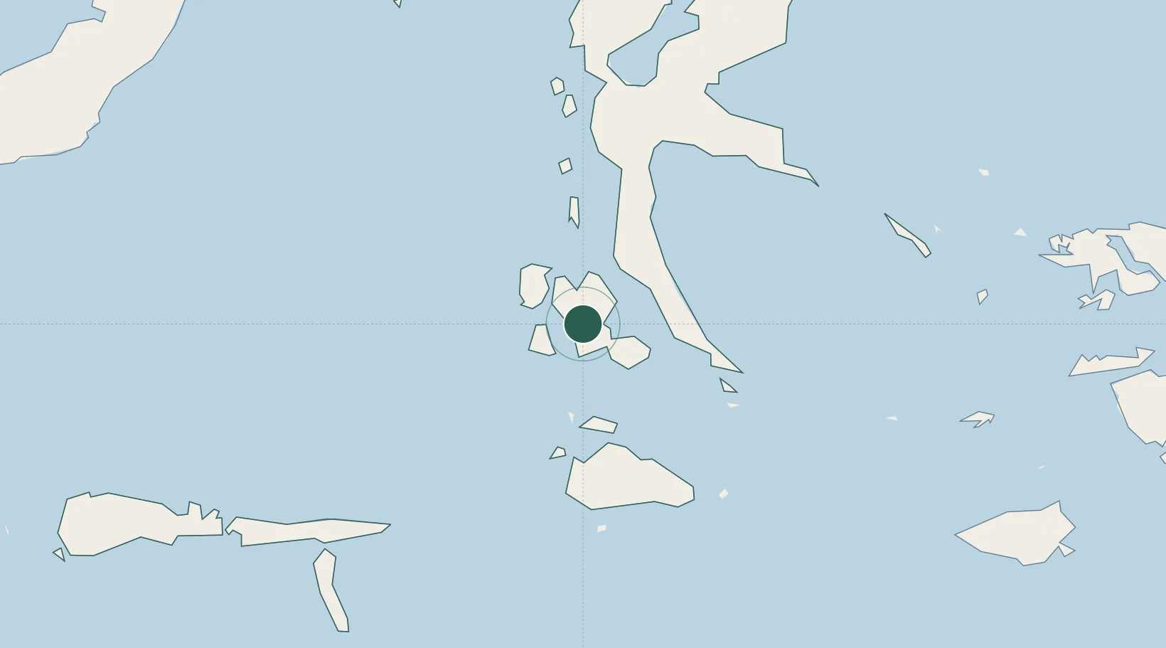
Nearby Logistics Neighbours

Cities
  1. 1Weda115 km
  2. 2Sidangoli169 km
  3. 3Mornopo176 km
  4. 4Tanjung Buli182 km
  5. 5Gee Island186 km
Nearest neighbours — logibook spatial index (haversine) over the source coordinates
Ports
  1. 1Ternate156 km
  2. 2Namlea300 km
  3. 3Wahai329 km
  4. 4Bitung343 km
  5. 5Ambon349 km
Nearest neighbours — logibook spatial index (haversine) over the source coordinates
Airports
  1. 1Sultan Babullah Airport161 km
  2. 2Namniwel Airport287 km
  3. 3Pitu Airport311 km
  4. 4Pattimura International Airport351 km
  5. 5Marinda Airport366 km
Nearest neighbours — logibook spatial index (haversine) over the source coordinates
Trade Zones
  1. 1KEK Morotai316 km
  2. 2Bitung Special Economic Zone347 km
  3. 3KEK Likupang364 km
  4. 4KEK Sorong421 km
  5. 5Morowali Industrial Park641 km
Nearest neighbours — logibook spatial index (haversine) over the source coordinates
DatabookThe Record of Consolidated Knowledge
Indonesia beyond logistics?
Browse databook

All Sources

LocationsUN/LOCODE
UN/LOCODE — free
Portsthe NGA World Port Index
Public domain (US gov)
AirportsOurAirports
Public domain
Trade Zonesthe World Bank SEZ database
CC BY 4.0
Trade ZonesOpen Zone Map
CC BY
← Indonesia locations