Small airport · Malaysia

Pulau Pangkor AirportWMPA
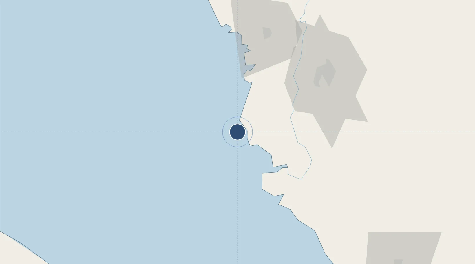
4.2447°, 100.5530°
2,402 ft
Longest runway
1
Runways
19 ft
Elevation

Runway & Layout

Pulau Pangkor Airport runway & taxiway layout
Runway & taxiway layout — OpenStreetMap (ODbL) / OurAirports

Runways · 1

RunwayDimensions SurfaceTrue headingLit
04/22 2,402 × 98ft Asphalt
OurAirports

Airport Specifications

IATA code
PKG
OurAirports
ICAO code
WMPA
OurAirports
Airport class
Small airport
OurAirports
Scheduled service
Yes
OurAirports
Runway surface
Asphalt
OurAirports
Served city
Pangkor Island
OurAirports

Location

Location of WMPA
Natural Earth 10m (public domain) · Perak · WMPA · 4.24, 100.55GoogleOSMYandex

Nearby Logistics Neighbours

Airports
  1. 1Sultan Azlan Shah Airport70 km
  2. 2Penang International Airport121 km
  3. 3RMAF Butterworth Air Base137 km
  4. 4Sultan Abdul Aziz Shah International Airport166 km
  5. 5Betong International Airport184 km
Nearest neighbours — logibook spatial index (haversine) over the source coordinates
Cities
  1. 1Manjung13 km
  2. 2Simpang Lima16 km
  3. 3Selekoh45 km
  4. 4Teronoh51 km
  5. 5Hutan Melintang58 km
Nearest neighbours — logibook spatial index (haversine) over the source coordinates
Ports
  1. 1Lumut9 km
  2. 2Teluk Anson57 km
  3. 3Pulau Pinang132 km
  4. 4Kuala Tanjung154 km
  5. 5Port Klang167 km
Nearest neighbours — logibook spatial index (haversine) over the source coordinates
Trade Zones
  1. 1Jelapang Ii69 km
  2. 2Kinta Free Industrial Zone79 km
  3. 3Northern Corridor Economic Region117 km
  4. 4Bayan Lepas, Penang Commercial Free Zone Mukim 12, District Of Barat Daya122 km
  5. 5Second Air Cargo Complex (Kkuk) Free Zone Penang122 km
Nearest neighbours — logibook spatial index (haversine) over the source coordinates
DatabookThe Record of Consolidated Knowledge
Malaysia beyond logistics?
Browse databook

All Sources

AirportsOurAirports
Public domain
Portsthe NGA World Port Index
Public domain (US gov)
LocationsUN/LOCODE
UN/LOCODE — free
Trade Zonesthe World Bank SEZ database
CC BY 4.0
Trade ZonesOpen Zone Map
CC BY
InfrastructureOpenStreetMap
ODbL 1.0
← Malaysia airports