Transport Functions
Multimodal
Hub Profile
Place type
Populated place
Region
Perak
Time zone
Asia/Kuala_Lumpur
Elevation
6 m
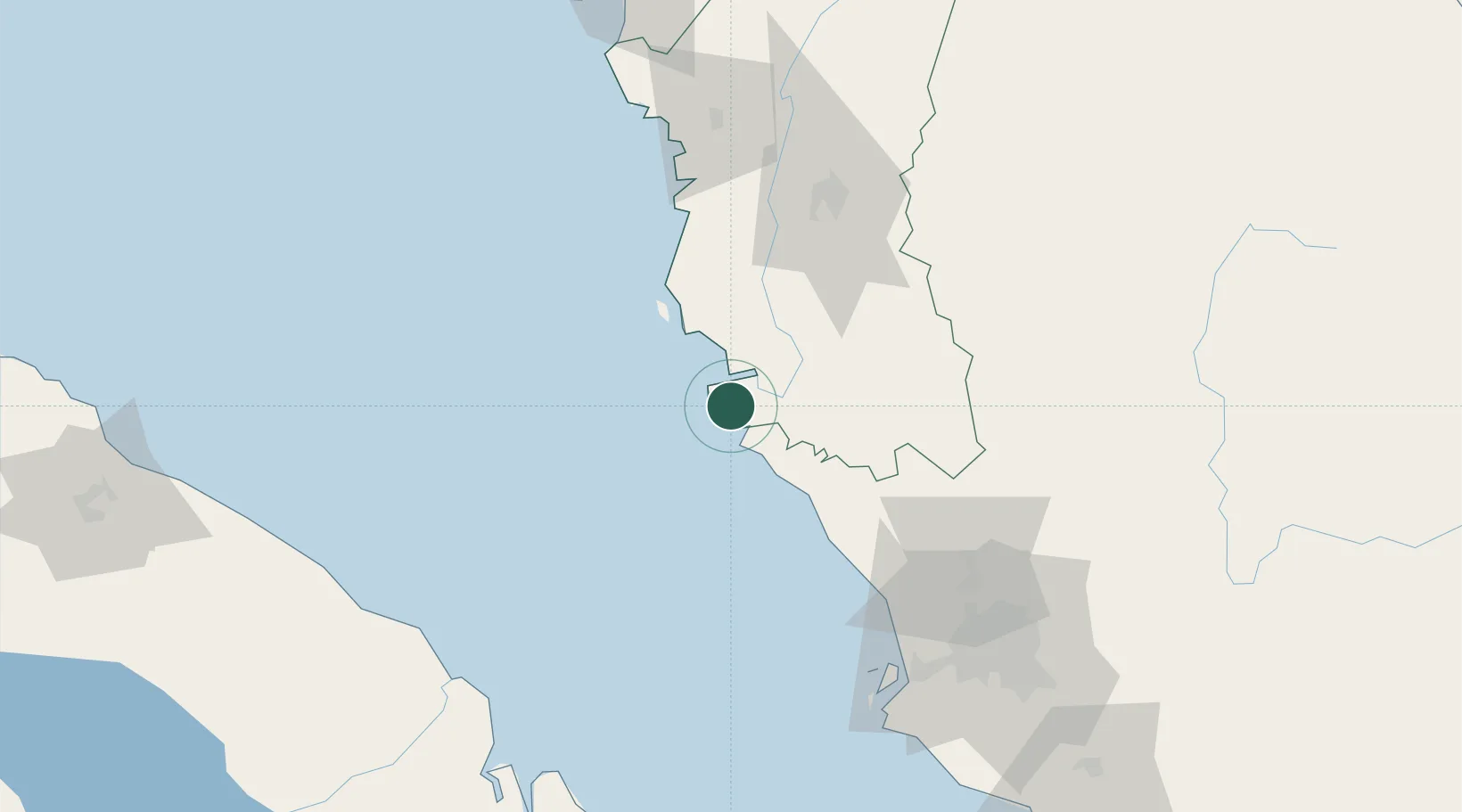
Location
Nearby Logistics Neighbours
Cities
- 1Hutan Melintang17 km
- 2Manjung32 km
- 3Simpang Lima36 km
- 4Langkap55 km
- 5Teronoh60 km
Ports
- 1Teluk Anson28 km
- 2Lumut39 km
- 3Port Klang123 km
- 4Kuala Tanjung157 km
- 5Pulau Pinang174 km
Airports
Trade Zones
- 1Jelapang Ii84 km
- 2Kinta Free Industrial Zone92 km
- 3Eco Business Park V107 km
- 4Northport Free Zone119 km
- 5Bukit Raja Industrial Park121 km
DatabookThe Record of Consolidated Knowledge
Malaysia beyond logistics?