Small airport · Indonesia

David Constantijn Saudale AirportWATR
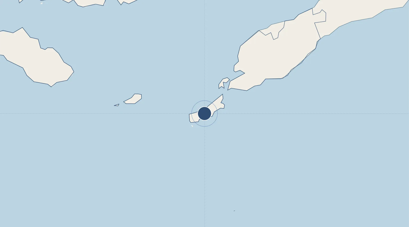
-10.7658°, 123.0760°
5,413 ft
Longest runway
1
Runways
470 ft
Elevation

Runway & Layout

David Constantijn Saudale Airport runway & taxiway layout
Runway & taxiway layout — OpenStreetMap (ODbL) / OurAirports

Runways · 1

RunwayDimensions SurfaceTrue headingLit
03/21 5,413 × 98ft Asphalt
OurAirports

Airport Specifications

IATA code
RTI
OurAirports
ICAO code
WATR
OurAirports
Airport class
Small airport
OurAirports
Scheduled service
Yes
OurAirports
Runway surface
Asphalt
OurAirports
Served city
Ba'a - Rote Island
OurAirports

Location

Location of WATR
Natural Earth 10m (public domain) · Nusa Tenggara Timur · WATR · -10.77, 123.08GoogleOSMYandex

Nearby Logistics Neighbours

Airports
  1. 1El Tari Airport93 km
  2. 2Oecusse Route of the Sandalwood International Airport222 km
  3. 3Frans Xavier Seda Airport254 km
  4. 4H. Hasan Aroeboesman (Ende) Airport264 km
  5. 5AA Bere Tallo (Haliwen) Airport275 km
Nearest neighbours — logibook spatial index (haversine) over the source coordinates
Cities
  1. 1Kupang, Timor80 km
  2. 2Challis Venture (oil Terminal)259 km
  3. 3Montara Field280 km
  4. 4Kalabahi325 km
  5. 5Waingapu, Sumba332 km
Nearest neighbours — logibook spatial index (haversine) over the source coordinates
Ports
  1. 1Kupang87 km
  2. 2Maumere257 km
  3. 3Ende266 km
  4. 4Larantuka269 km
  5. 5Waingapu337 km
Nearest neighbours — logibook spatial index (haversine) over the source coordinates
Trade Zones
  1. 1Oecusse Ambeno Enclave Special Zone For Social Market Economy (Zeesm)208 km
  2. 2Atauro Special Economic Zone396 km
  3. 3Bantaeng Industrial Park (BIP)680 km
  4. 4Terpadu Takalar Industrial Estate714 km
  5. 5Kawasan Industri Makassar743 km
Nearest neighbours — logibook spatial index (haversine) over the source coordinates
DatabookThe Record of Consolidated Knowledge
Indonesia beyond logistics?
Browse databook

All Sources

AirportsOurAirports
Public domain
Portsthe NGA World Port Index
Public domain (US gov)
LocationsUN/LOCODE
UN/LOCODE — free
Trade Zonesthe World Bank SEZ database
CC BY 4.0
Trade ZonesOpen Zone Map
CC BY
InfrastructureOpenStreetMap
ODbL 1.0
← Indonesia airports