Special Economic Zone · Indonesia

Maloy Batuta Trans Kalimantan Special Economic Zone Active
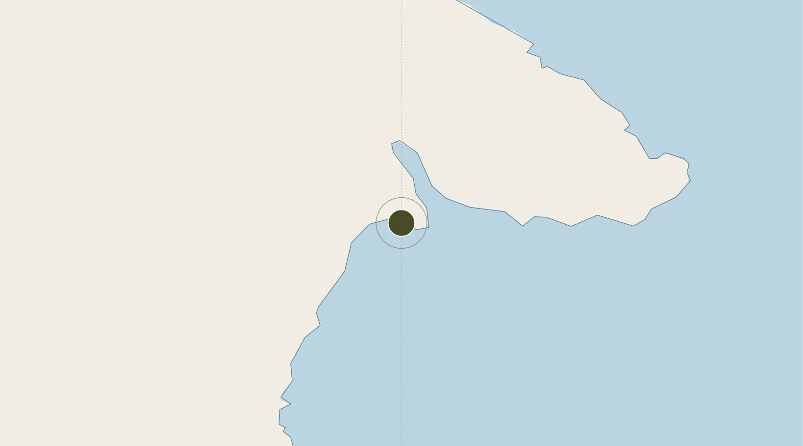
0.8165°, 117.9308°
557 ha
Zone area
64.4 km
Nearest port
92.3 km
Nearest airport

Gateway access

Nearest neighbours — logibook spatial index (haversine) over the source coordinates

Zone profile

Zone type
Special Economic Zone
the World Bank SEZ database
Region
Kalimantan Timur
the World Bank SEZ database
Status
Active
the World Bank SEZ database
Established
2014
the World Bank SEZ database
Management
State-owned enterprise
the World Bank SEZ database
Operator
PT Maloy Batuta Trans Kalimantan
the World Bank SEZ database
Regulatory authority
National Council and Zone Council
the World Bank SEZ database
Legal framework
Law No 39 regarding Special Economic Zones
the World Bank SEZ database

Location

Location of IDN42
Natural Earth 10m (public domain) · Kalimantan Timur · IDN42 · 0.82, 117.93GoogleOSMYandex

Fiscal & incentives

Corporate tax
25%
the World Bank SEZ database
Tax relief
20-100% exempt, depending on MoF discretion
the World Bank SEZ database
Relief duration
5 - 15 years
the World Bank SEZ database
VAT
100% exempt from VAT, luxury sales tax, and excise tax on raw materials
the World Bank SEZ database
Import duty (inputs)
0% exempt
the World Bank SEZ database
Import duty (capex)
0% exempt
the World Bank SEZ database
Profit repatriation
No exemption
the World Bank SEZ database
Capital gains
No exemption
the World Bank SEZ database
Withholding tax
No exemption
the World Bank SEZ database
Min. investment
$37M
the World Bank SEZ database
Min. export
0%
the World Bank SEZ database
Employment incentive
No exemption
the World Bank SEZ database
Developer incentive
Yes
the World Bank SEZ database

Nearby Logistics Neighbours

Ports
  1. 1Tanjung Sangata64 km
  2. 2Bontang Lng Terminal94 km
  3. 3Tanjung Santan111 km
  4. 4Samarinda174 km
  5. 5Senipah Oil Terminal214 km
Nearest neighbours — logibook spatial index (haversine) over the source coordinates
Airports
  1. 1LNG Badak Airport92 km
  2. 2Aji Pangeran Tumenggung Pranoto International Airport153 km
  3. 3Kalimarau Airport158 km
  4. 4Tanjung Harapan Airport233 km
  5. 5Sultan Aji Muhammad Sulaiman Sepinggan International Airport259 km
Nearest neighbours — logibook spatial index (haversine) over the source coordinates
Cities
  1. 1Lubuk Tutung23 km
  2. 2Tanjung Merangas99 km
  3. 3Suaran140 km
  4. 4Mangkajang148 km
  5. 5Samarinda, Kalimantan172 km
Nearest neighbours — logibook spatial index (haversine) over the source coordinates
Trade Zones
  1. 1Kaltim Industrial Estate87 km
  2. 2Delma Industrial Park171 km
  3. 3Muara Wahau Industrial Park172 km
  4. 4Kariangau Industrial Estate262 km
  5. 5Palu Special Economic Zone275 km
Nearest neighbours — logibook spatial index (haversine) over the source coordinates
DatabookThe Record of Consolidated Knowledge
Indonesia beyond logistics?
Browse databook

All Sources

Trade Zonesthe World Bank SEZ database
CC BY 4.0
Portsthe NGA World Port Index
Public domain (US gov)
AirportsOurAirports
Public domain
LocationsUN/LOCODE
UN/LOCODE — free
← Indonesia trade zones