Transport Functions
Port
Hub Profile
Place type
Provincial seat
Region
Central Sulawesi
Time zone
Asia/Makassar
Elevation
7 m
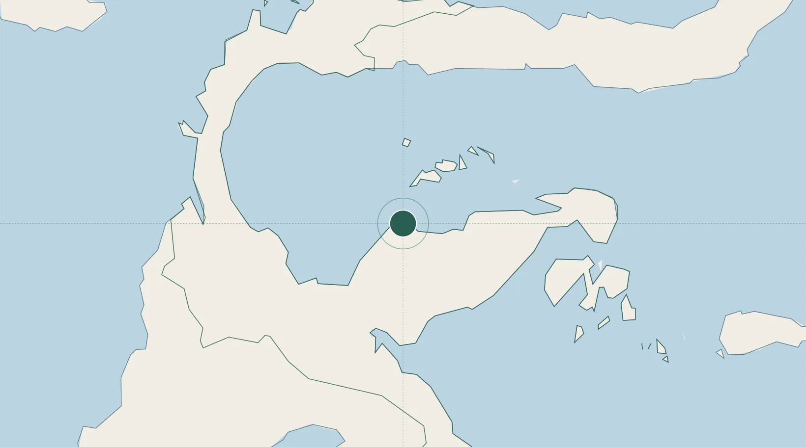
Location
Nearby Logistics Neighbours
Cities
- 1Donggi105 km
- 2Morowali112 km
- 3Pagimana115 km
- 4Kolonodale125 km
- 5Kerobokan131 km
Ports
- 1Poso108 km
- 2Kolonodale127 km
- 3Luwuk136 km
- 4Gorontalo223 km
- 5Kendari362 km
Airports
- 1Tanjung Api Airport5 km
- 2Kasiguncu Airport119 km
- 3Syukuran Aminuddin Amir Airport134 km
- 4Maleo Airport149 km
- 5Mutiara - SIS Al-Jufrie Airport186 km
Trade Zones
DatabookThe Record of Consolidated Knowledge
Indonesia beyond logistics?