Small airport · Indonesia

Tanjung Api AirportWAFU
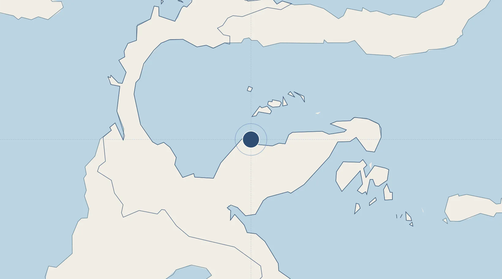
-0.8654°, 121.6286°
6,070 ft
Longest runway
1
Runways
49 ft
Elevation

Runway & Layout

Tanjung Api Airport runway & taxiway layout
Runway & taxiway layout — OpenStreetMap (ODbL) / OurAirports

Runways · 1

RunwayDimensions SurfaceTrue headingLit
12/30 6,070 × —ft Asphalt
OurAirports

Airport Specifications

IATA code
OJU
OurAirports
ICAO code
WAFU
OurAirports
Airport class
Small airport
OurAirports
Scheduled service
Yes
OurAirports
Runway surface
Asphalt
OurAirports
Served city
Tojo Una-Una
OurAirports

Location

Location of WAFU
Natural Earth 10m (public domain) · Sulawesi Tengah · WAFU · -0.87, 121.63GoogleOSMYandex

Nearby Logistics Neighbours

Airports
  1. 1Kasiguncu Airport124 km
  2. 2Syukuran Aminuddin Amir Airport129 km
  3. 3Maleo Airport149 km
  4. 4Mutiara - SIS Al-Jufrie Airport191 km
  5. 5Jalaluddin Airport215 km
Nearest neighbours — logibook spatial index (haversine) over the source coordinates
Cities
  1. 1Ampana5 km
  2. 2Donggi101 km
  3. 3Pagimana110 km
  4. 4Morowali112 km
  5. 5Kolonodale127 km
Nearest neighbours — logibook spatial index (haversine) over the source coordinates
Ports
  1. 1Poso113 km
  2. 2Kolonodale129 km
  3. 3Luwuk131 km
  4. 4Gorontalo219 km
  5. 5Kendari361 km
Nearest neighbours — logibook spatial index (haversine) over the source coordinates
Trade Zones
  1. 1Palu Special Economic Zone196 km
  2. 2Morowali Industrial Park225 km
  3. 3Maloy Batuta Trans Kalimantan Special Economic Zone452 km
  4. 4Bitung Special Economic Zone459 km
  5. 5Kaltim Industrial Estate476 km
Nearest neighbours — logibook spatial index (haversine) over the source coordinates
DatabookThe Record of Consolidated Knowledge
Indonesia beyond logistics?
Browse databook

All Sources

AirportsOurAirports
Public domain
Portsthe NGA World Port Index
Public domain (US gov)
LocationsUN/LOCODE
UN/LOCODE — free
Trade Zonesthe World Bank SEZ database
CC BY 4.0
Trade ZonesOpen Zone Map
CC BY
InfrastructureOpenStreetMap
ODbL 1.0
← Indonesia airports