UN/LOCODE hub · Indonesia
IDPGM

Pagimana

-0.8000°, 122.6167°
1
Transport functions

Transport Functions

Port
UN/LOCODE

Hub Profile

Place type
District seat
GeoNames
Region
Central Sulawesi
GeoNames
Time zone
Asia/Makassar
GeoNames
Elevation
51 m
GeoNames

Location

Location of IDPGM
Natural Earth 10m (public domain) · Central Sulawesi · IDPGM · -0.80, 122.62GoogleOSMYandex

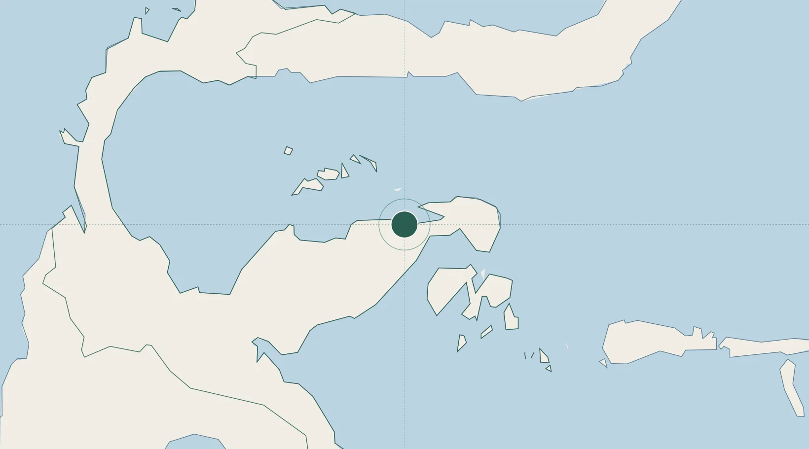
Nearby Logistics Neighbours

Cities
  1. 1Luwuk26 km
  2. 2Donggi91 km
  3. 3Ampana115 km
  4. 4Morowali172 km
  5. 5Anggrek184 km
Nearest neighbours — logibook spatial index (haversine) over the source coordinates
Ports
  1. 1Luwuk26 km
  2. 2Gorontalo152 km
  3. 3Kolonodale194 km
  4. 4Poso217 km
  5. 5Kendari352 km
Nearest neighbours — logibook spatial index (haversine) over the source coordinates
Airports
  1. 1Syukuran Aminuddin Amir Airport32 km
  2. 2Tanjung Api Airport110 km
  3. 3Jalaluddin Airport162 km
  4. 4Maleo Airport188 km
  5. 5Kasiguncu Airport228 km
Nearest neighbours — logibook spatial index (haversine) over the source coordinates
Trade Zones
  1. 1Morowali Industrial Park231 km
  2. 2Palu Special Economic Zone306 km
  3. 3Bitung Special Economic Zone367 km
  4. 4KEK Likupang395 km
  5. 5Maloy Batuta Trans Kalimantan Special Economic Zone551 km
Nearest neighbours — logibook spatial index (haversine) over the source coordinates
DatabookThe Record of Consolidated Knowledge
Indonesia beyond logistics?
Browse databook

All Sources

LocationsUN/LOCODE
UN/LOCODE — free
Portsthe NGA World Port Index
Public domain (US gov)
AirportsOurAirports
Public domain
Trade Zonesthe World Bank SEZ database
CC BY 4.0
Trade ZonesOpen Zone Map
CC BY
← Indonesia locations