Transport Functions
Port
Airport
Hub Profile
Place type
Provincial seat
Region
Central Sulawesi
Population
47,778
Time zone
Asia/Makassar
Elevation
17 m
Logistics facilities
1
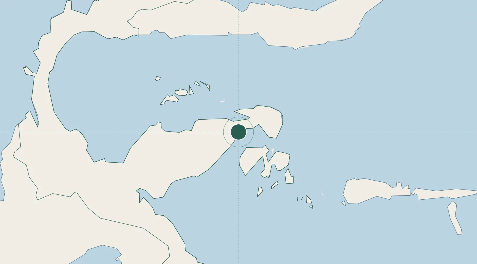
Location
Nearby Logistics Neighbours
Cities
- 1Pagimana26 km
- 2Donggi89 km
- 3Ampana135 km
- 4Morowali177 km
- 5Kolonodale198 km
Ports
- 1Gorontalo164 km
- 2Kolonodale199 km
- 3Poso232 km
- 4Kendari337 km
- 5Manado354 km
Airports
- 1Syukuran Aminuddin Amir Airport10 km
- 2Tanjung Api Airport130 km
- 3Jalaluddin Airport176 km
- 4Maleo Airport188 km
- 5Kasiguncu Airport243 km
Trade Zones
DatabookThe Record of Consolidated Knowledge
Indonesia beyond logistics?