Small airport · Indonesia

Buol - Pogogul AirportWAMY
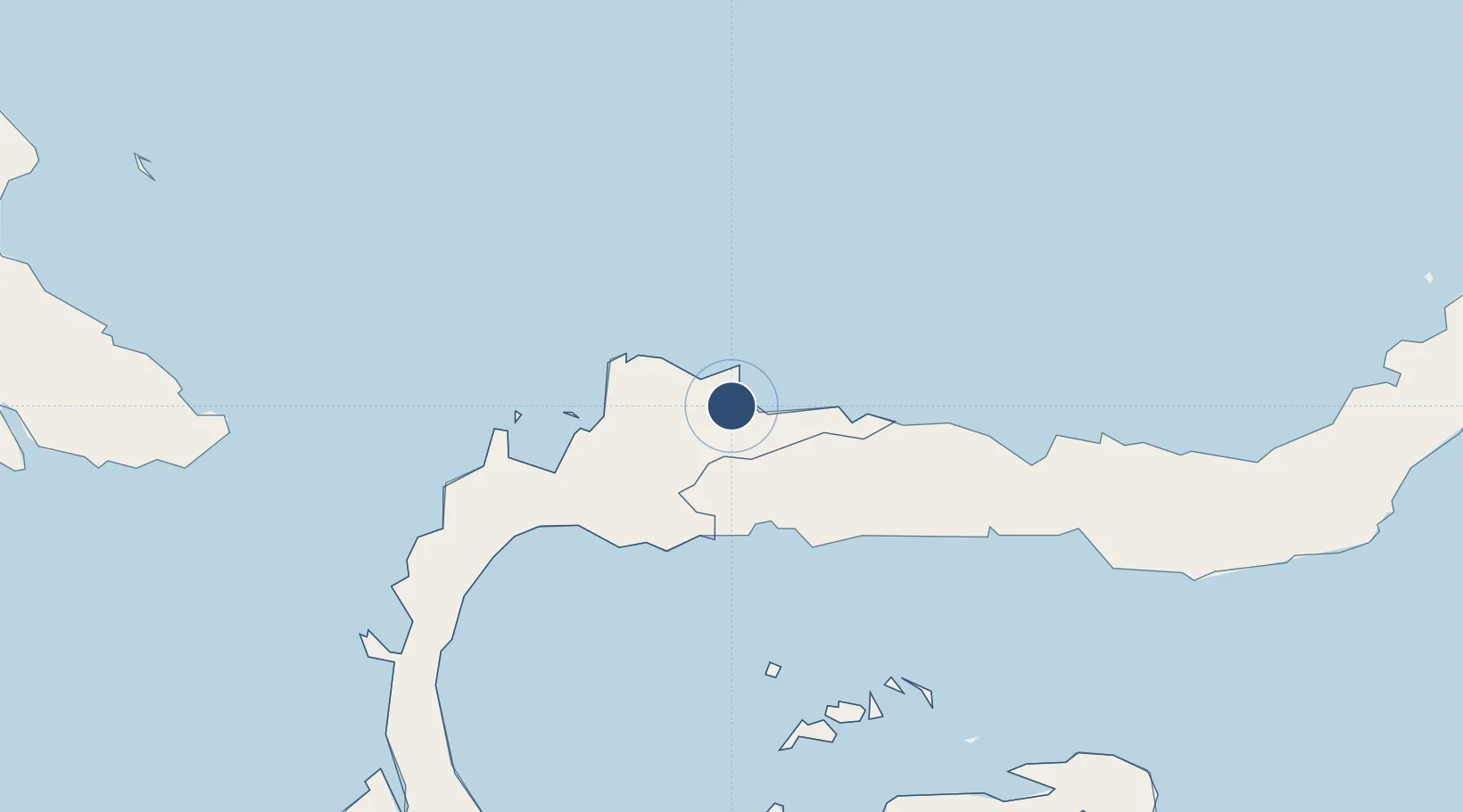
1.1023°, 121.4134°
2,461 ft
Longest runway
1
Runways
49 ft
Elevation

Runway & Layout

Buol - Pogogul Airport runway & taxiway layout
Runway & taxiway layout — OpenStreetMap (ODbL) / OurAirports

Runways · 1

RunwayDimensions SurfaceTrue headingLit
06/24 2,461 × 69ft Compacted coral and sand
OurAirports

Airport Specifications

IATA code
UOL
OurAirports
ICAO code
WAFY
OurAirports
Airport class
Small airport
OurAirports
Scheduled service
Yes
OurAirports
Runway surface
Compacted coral and sand
OurAirports
Served city
Buol-Celebes Island
OurAirports

Location

Location of WAMY
Natural Earth 10m (public domain) · Sulawesi Tengah · WAMY · 1.10, 121.41GoogleOSMYandex

Nearby Logistics Neighbours

Airports
  1. 1Sultan Bantilan Airport69 km
  2. 2Jalaluddin Airport168 km
  3. 3Tanjung Api Airport220 km
  4. 4Mutiara - SIS Al-Jufrie Airport280 km
  5. 5Syukuran Aminuddin Amir Airport282 km
Nearest neighbours — logibook spatial index (haversine) over the source coordinates
Cities
  1. 1Anggrek155 km
  2. 2Gorontalo, Sulawesi172 km
  3. 3Ampana220 km
  4. 4Wusong Pt233 km
  5. 5Pagimana250 km
Nearest neighbours — logibook spatial index (haversine) over the source coordinates
Ports
  1. 1Gorontalo194 km
  2. 2Luwuk275 km
  3. 3Poso284 km
  4. 4Kolonodale343 km
  5. 5Manado383 km
Nearest neighbours — logibook spatial index (haversine) over the source coordinates
Trade Zones
  1. 1Palu Special Economic Zone265 km
  2. 2Maloy Batuta Trans Kalimantan Special Economic Zone389 km
  3. 3Bitung Special Economic Zone410 km
  4. 4KEK Likupang421 km
  5. 5Morowali Industrial Park444 km
Nearest neighbours — logibook spatial index (haversine) over the source coordinates
DatabookThe Record of Consolidated Knowledge
Indonesia beyond logistics?
Browse databook

All Sources

AirportsOurAirports
Public domain
Portsthe NGA World Port Index
Public domain (US gov)
LocationsUN/LOCODE
UN/LOCODE — free
Trade Zonesthe World Bank SEZ database
CC BY 4.0
Trade ZonesOpen Zone Map
CC BY
InfrastructureOpenStreetMap
ODbL 1.0
← Indonesia airports