Special Economic Zone · Indonesia

Palu Special Economic Zone Active
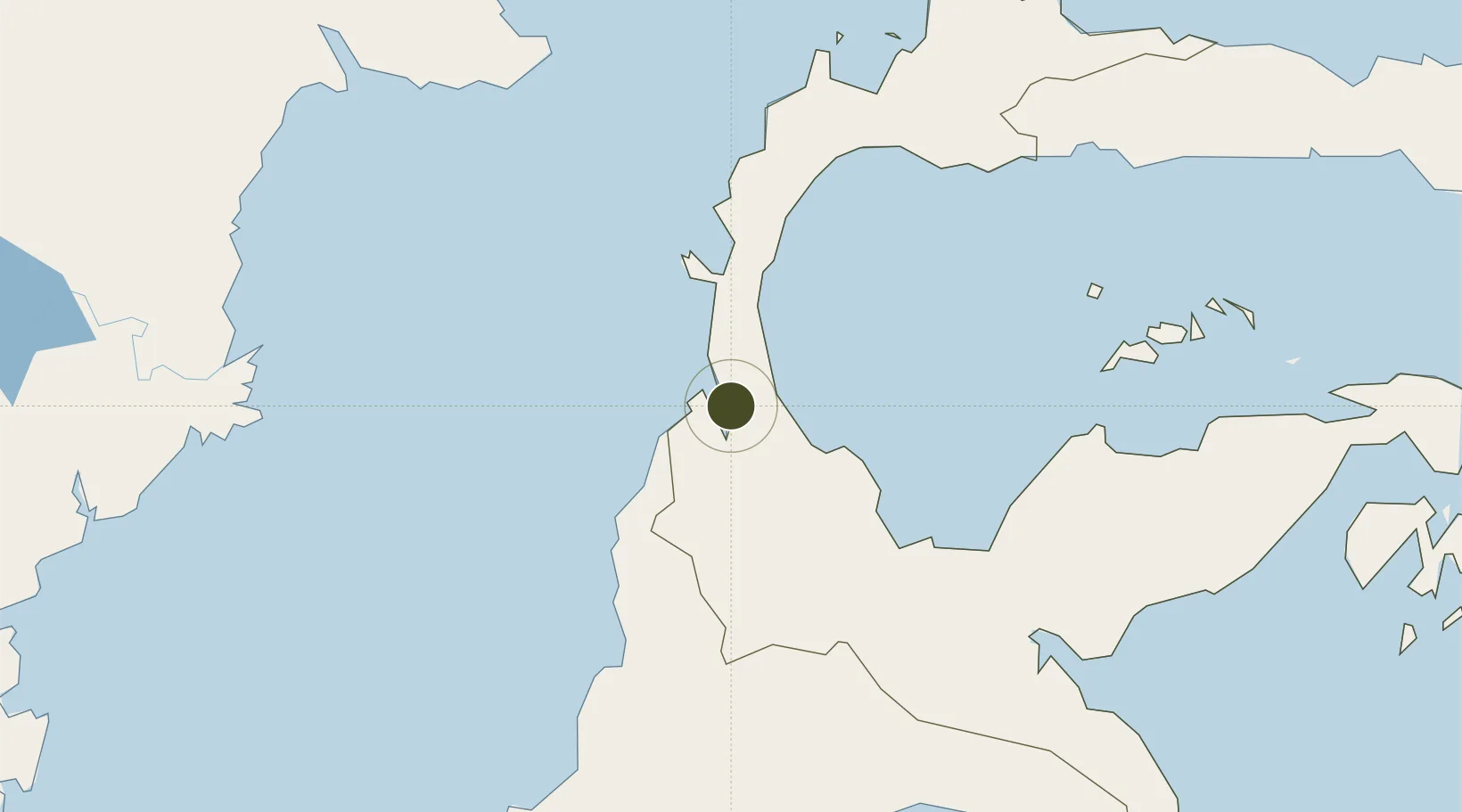
-0.7123°, 119.8703°
500 ha
Zone area
121.9 km
Nearest port
23.1 km
Nearest airport

Gateway access

Nearest neighbours — logibook spatial index (haversine) over the source coordinates

Zone profile

Zone type
Special Economic Zone
the World Bank SEZ database
Region
Sulawesi Tengah
the World Bank SEZ database
Status
Active
the World Bank SEZ database
Established
2014
the World Bank SEZ database
Management
Public agency
the World Bank SEZ database
Operator
Government of Palu City
the World Bank SEZ database
Regulatory authority
National Council and Zone Council
the World Bank SEZ database
Legal framework
Law No 39 regarding Special Economic Zones
the World Bank SEZ database

Location

Location of IDN43
Natural Earth 10m (public domain) · Sulawesi Tengah · IDN43 · -0.71, 119.87GoogleOSMYandex

Fiscal & incentives

Corporate tax
25%
the World Bank SEZ database
Tax relief
20-100% exempt, depending on MoF discretion
the World Bank SEZ database
Relief duration
5 - 15 years
the World Bank SEZ database
VAT
100% exempt from VAT, luxury sales tax, and excise tax on raw materials
the World Bank SEZ database
Import duty (inputs)
0% exempt
the World Bank SEZ database
Import duty (capex)
0% exempt
the World Bank SEZ database
Profit repatriation
No exemption
the World Bank SEZ database
Capital gains
No exemption
the World Bank SEZ database
Withholding tax
No exemption
the World Bank SEZ database
Min. investment
$37M
the World Bank SEZ database
Min. export
0%
the World Bank SEZ database
Employment incentive
No exemption
the World Bank SEZ database
Developer incentive
Yes
the World Bank SEZ database

Nearby Logistics Neighbours

Ports
  1. 1Poso122 km
  2. 2Kolonodale216 km
  3. 3Tanjung Santan269 km
  4. 4Bontang Lng Terminal280 km
  5. 5Tanjung Sangata283 km
Nearest neighbours — logibook spatial index (haversine) over the source coordinates
Airports
  1. 1Mutiara - SIS Al-Jufrie Airport23 km
  2. 2Kasiguncu Airport117 km
  3. 3Tanjung Api Airport196 km
  4. 4Sultan Bantilan Airport229 km
  5. 5Maleo Airport259 km
Nearest neighbours — logibook spatial index (haversine) over the source coordinates
Cities
  1. 1Pantoloan, Sv2 km
  2. 2Palu2 km
  3. 3Kerobokan69 km
  4. 4Ampana191 km
  5. 5Kolonodale214 km
Nearest neighbours — logibook spatial index (haversine) over the source coordinates
Trade Zones
  1. 1Maloy Batuta Trans Kalimantan Special Economic Zone275 km
  2. 2Kaltim Industrial Estate284 km
  3. 3Kariangau Industrial Estate342 km
  4. 4Morowali Industrial Park346 km
  5. 5Delma Industrial Park408 km
Nearest neighbours — logibook spatial index (haversine) over the source coordinates
DatabookThe Record of Consolidated Knowledge
Indonesia beyond logistics?
Browse databook

All Sources

Trade Zonesthe World Bank SEZ database
CC BY 4.0
Portsthe NGA World Port Index
Public domain (US gov)
AirportsOurAirports
Public domain
LocationsUN/LOCODE
UN/LOCODE — free
← Indonesia trade zones