Channel & Berth Profile
Pilotage, Tugs & Services
Pilotage compulsoryNO
Tug assistanceYES
Facilities & Capabilities
Container—
Ro-Ro—
Liquid bulk—
Dry bulk—
Oil terminal—
Break bulk—
Dry dock—
RepairsNO
Bunkering—
Rail link—
Dangerous cargo—
ISPS security—
Harbour Specifications
Harbour size
Very Small
Harbour type
Open Roadstead
Shelter
Poor
Water body
Teluk Tomini; Molucca Sea; South Pacific Ocean
Tidal range
2 m
Pilotage
No
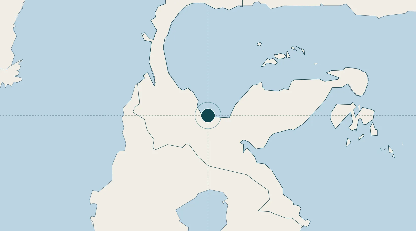
Location
Nearby Logistics Neighbours
Ports
- 1Kolonodale94 km
- 2Luwuk233 km
- 3Parepare319 km
- 4Pomalaa325 km
- 5Gorontalo329 km
Cities
- 1Kerobokan55 km
- 2Kolonodale93 km
- 3Morowali100 km
- 4Ampana108 km
- 5Pantoloan, Sv123 km
Airports
- 1Kasiguncu Airport11 km
- 2Mutiara - SIS Al-Jufrie Airport106 km
- 3Tanjung Api Airport113 km
- 4Maleo Airport138 km
- 5Bua - Palopo Lagaligo Airport199 km
Trade Zones
DatabookThe Record of Consolidated Knowledge
Indonesia beyond logistics?