Diversified Zone · Indonesia

Pasuruan Industrial Estate Rembang Active
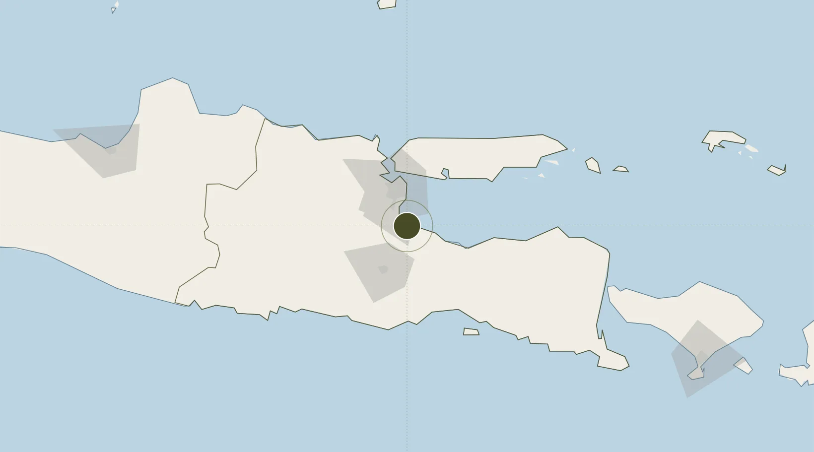
-7.6055°, 112.8244°
560 ha
Zone area
45.0 km
Nearest port
25.4 km
Nearest airport

Gateway access

Nearest neighbours — logibook spatial index (haversine) over the source coordinates

Zone profile

Zone type
Diversified Zone
Open Zone Map
Region
Jawa Timur
Open Zone Map
Status
Active
Open Zone Map
Management
Public
Open Zone Map
Operator
PT. SIER
Open Zone Map
Legal framework
The Law No 3. Article 106, issued in 2014
Open Zone Map

Location

Location of ozm-2390
Natural Earth 10m (public domain) · Jawa Timur · ozm-2390 · -7.61, 112.82GoogleOSMYandex

Nearby Logistics Neighbours

Ports
  1. 1Probolinggo45 km
  2. 2Surabaya46 km
  3. 3Gresik54 km
  4. 4Poleng Oil Field107 km
  5. 5Tuban122 km
Nearest neighbours — logibook spatial index (haversine) over the source coordinates
Airports
  1. 1Juanda International Airport25 km
  2. 2Abdul Rachman Saleh Airport38 km
  3. 3Dhoho International Airport98 km
  4. 4Notohadinegoro Airport119 km
  5. 5Banyuwangi Airport184 km
Nearest neighbours — logibook spatial index (haversine) over the source coordinates
Cities
  1. 1Pasuruan, Java9 km
  2. 2Purwosari21 km
  3. 3Mojosari32 km
  4. 4Jawa Timur39 km
  5. 5Surabaya44 km
Nearest neighbours — logibook spatial index (haversine) over the source coordinates
Trade Zones
  1. 1Safe N Lock Industrial Estate18 km
  2. 2Ngoro Industrial Park24 km
  3. 3Surabaya Industrial Estate - Rungkut31 km
  4. 4KEK Singhasari37 km
  5. 5Pulahan Seruai Industrial Estate39 km
Nearest neighbours — logibook spatial index (haversine) over the source coordinates
DatabookThe Record of Consolidated Knowledge
Indonesia beyond logistics?
Browse databook

All Sources

Trade ZonesOpen Zone Map
CC BY
Portsthe NGA World Port Index
Public domain (US gov)
AirportsOurAirports
Public domain
LocationsUN/LOCODE
UN/LOCODE — free
← Indonesia trade zones