Channel & Berth Profile
Pilotage, Tugs & Services
Tug assistanceNO
Potable waterYES
MedicalYES
Facilities & Capabilities
Container—
Ro-Ro—
Liquid bulk—
Dry bulk—
Oil terminal—
Break bulk—
Dry dock—
Repairs—
BunkeringYES
Rail link—
Dangerous cargo—
ISPS security—
Harbour Specifications
Harbour size
Small
Harbour type
Coastal (Natural)
Shelter
Fair
Water body
Bali Sea; Java Sea; South Pacific Ocean
Tidal range
1 m
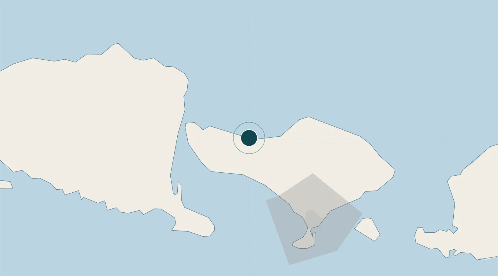
Location
Nearby Logistics Neighbours
Ports
- 1Benoa76 km
- 2Panarukan113 km
- 3Ampenan142 km
- 4Probolinggo185 km
- 5Tanjung Benete225 km
Cities
- 1Jembrana29 km
- 2Banyuwangi53 km
- 3Gatot Subroto Permai64 km
- 4Gianyar67 km
- 5Kuta71 km
Airports
Trade Zones
- 1KEK Mandalika179 km
- 2Pasuruan Industrial Estate Rembang230 km
- 3Safe N Lock Industrial Estate243 km
- 4KEK Singhasari244 km
- 5Surabaya Industrial Estate - Rungkut248 km
DatabookThe Record of Consolidated Knowledge
Indonesia beyond logistics?