Large airport · Indonesia

Lombok International AirportWADL
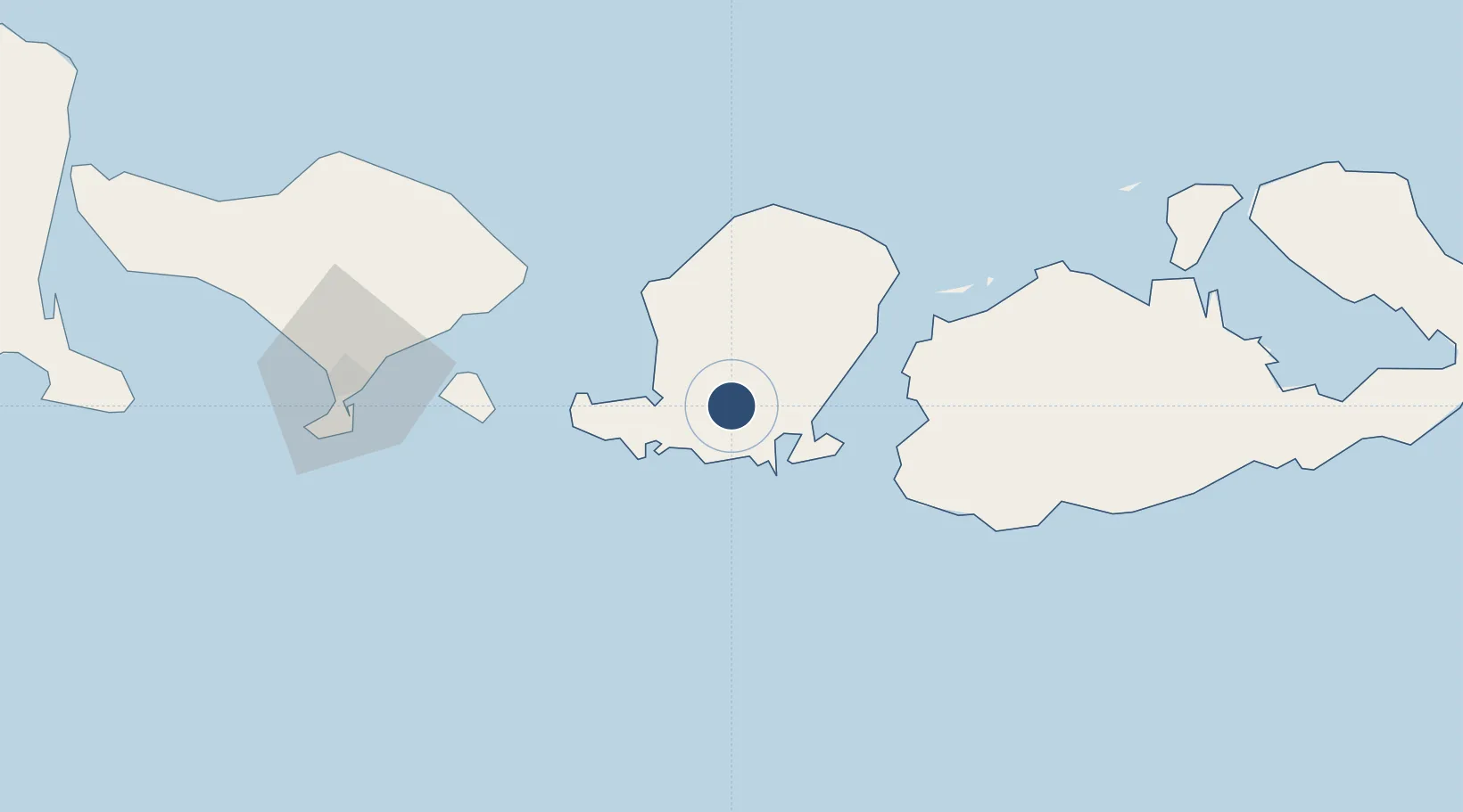
-8.7600°, 116.2782°
10,826 ft
Longest runway
1
Runways
319 ft
Elevation

Runway & Layout

Lombok International Airport runway & taxiway layout
Runway & taxiway layout — OpenStreetMap (ODbL) / OurAirports

Runways · 1

RunwayDimensions SurfaceTrue headingLit
13/31 10,826 × 197ft Asphalt 127°
OurAirports

Airport Specifications

IATA code
LOP
OurAirports
ICAO code
WADL
OurAirports
Airport class
Large airport
OurAirports
Scheduled service
Yes
OurAirports
Runway surface
Asphalt
OurAirports
Served city
Mataram (Pujut, Lombok Tengah)
OurAirports

Location

Location of WADL
Natural Earth 10m (public domain) · Nusa Tenggara Barat · WADL · -8.76, 116.28GoogleOSMYandex

Nearby Logistics Neighbours

Airports
  1. 1Denpasar I Gusti Ngurah Rai International Airport122 km
  2. 2Discovery Kartika Plaza Heliport122 km
  3. 3Sultan Muhammad Kaharuddin III Airport128 km
  4. 4Lieutenant Colonel Wisnu Airfield196 km
  5. 5Banyuwangi Airport219 km
Nearest neighbours — logibook spatial index (haversine) over the source coordinates
Cities
  1. 1Lembar22 km
  2. 2Benete26 km
  3. 3Sunut32 km
  4. 4Senggigi38 km
  5. 5Lombok52 km
Nearest neighbours — logibook spatial index (haversine) over the source coordinates
Ports
  1. 1Ampenan32 km
  2. 2Tanjung Benete54 km
  3. 3Benoa117 km
  4. 4Celukan Bawang171 km
  5. 5Panarukan284 km
Nearest neighbours — logibook spatial index (haversine) over the source coordinates
Trade Zones
  1. 1KEK Mandalika15 km
  2. 2Pasuruan Industrial Estate Rembang401 km
  3. 3KEK Singhasari412 km
  4. 4Safe N Lock Industrial Estate415 km
  5. 5Surabaya Industrial Estate - Rungkut419 km
Nearest neighbours — logibook spatial index (haversine) over the source coordinates
DatabookThe Record of Consolidated Knowledge
Indonesia beyond logistics?
Browse databook

All Sources

AirportsOurAirports
Public domain
Portsthe NGA World Port Index
Public domain (US gov)
LocationsUN/LOCODE
UN/LOCODE — free
Trade Zonesthe World Bank SEZ database
CC BY 4.0
Trade ZonesOpen Zone Map
CC BY
InfrastructureOpenStreetMap
ODbL 1.0
← Indonesia airports