Transport Functions
Port
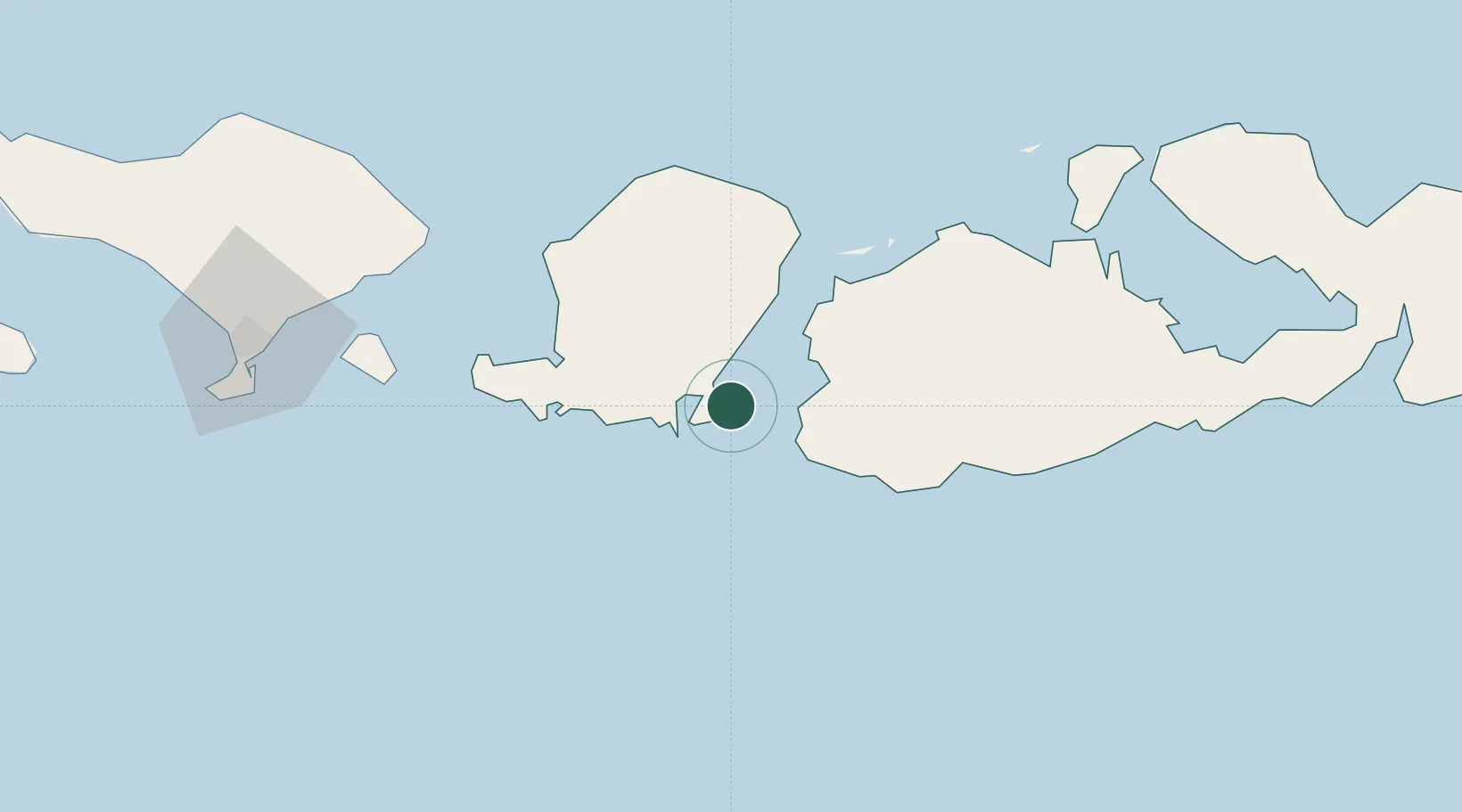
Hub Profile
Place type
Populated place
Region
West Nusa Tenggara
Time zone
Asia/Makassar
Elevation
9 m
Location
Nearby Logistics Neighbours
Ports
- 1Tanjung Benete22 km
- 2Ampenan63 km
- 3Benoa147 km
- 4Celukan Bawang204 km
- 5Panarukan316 km
Airports
Trade Zones
- 1KEK Mandalika28 km
- 2Pasuruan Industrial Estate Rembang433 km
- 3KEK Singhasari444 km
- 4Safe N Lock Industrial Estate447 km
- 5Surabaya Industrial Estate - Rungkut451 km
DatabookThe Record of Consolidated Knowledge
Indonesia beyond logistics?