UN/LOCODE hub · Indonesia
IDKHY

Kahyangan

-8.4833°, 116.6667°
1
Transport functions

Transport Functions

Port
UN/LOCODE

Hub Profile

Region
NB
GeoNames

Location

Location of IDKHY
Natural Earth 10m (public domain) · NB · IDKHY · -8.48, 116.67GoogleOSMYandex

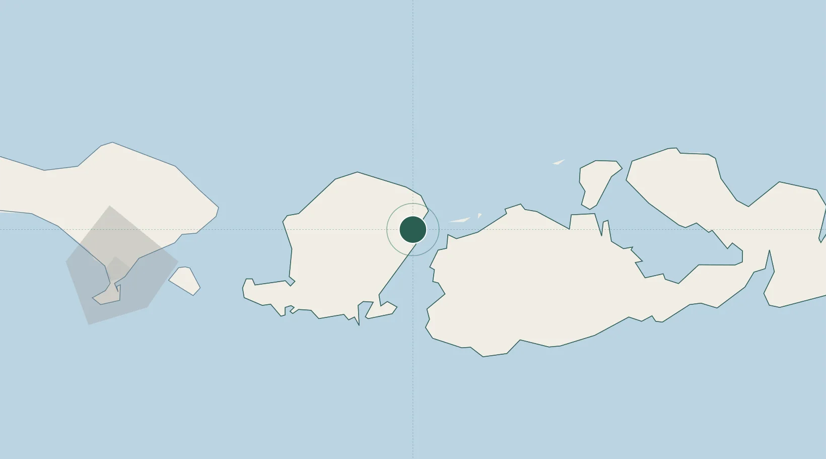
Nearby Logistics Neighbours

Cities
  1. 1Lombok2 km
  2. 2Poto Tano19 km
  3. 3Cereweh41 km
  4. 4Sunut45 km
  5. 5Benete62 km
Nearest neighbours — logibook spatial index (haversine) over the source coordinates
Ports
  1. 1Tanjung Benete47 km
  2. 2Ampenan67 km
  3. 3Benoa162 km
  4. 4Celukan Bawang204 km
  5. 5Panarukan313 km
Nearest neighbours — logibook spatial index (haversine) over the source coordinates
Airports
  1. 1Lombok International Airport53 km
  2. 2Sultan Muhammad Kaharuddin III Airport82 km
  3. 3Discovery Kartika Plaza Heliport167 km
  4. 4Denpasar I Gusti Ngurah Rai International Airport168 km
  5. 5Sultan Muhammad Salahuddin Airport222 km
Nearest neighbours — logibook spatial index (haversine) over the source coordinates
Trade Zones
  1. 1KEK Mandalika61 km
  2. 2Pasuruan Industrial Estate Rembang434 km
  3. 3Safe N Lock Industrial Estate446 km
  4. 4KEK Singhasari448 km
  5. 5Surabaya Industrial Estate - Rungkut449 km
Nearest neighbours — logibook spatial index (haversine) over the source coordinates
DatabookThe Record of Consolidated Knowledge
Indonesia beyond logistics?
Browse databook

All Sources

LocationsUN/LOCODE
UN/LOCODE — free
Portsthe NGA World Port Index
Public domain (US gov)
AirportsOurAirports
Public domain
Trade Zonesthe World Bank SEZ database
CC BY 4.0
Trade ZonesOpen Zone Map
CC BY
← Indonesia locations