UN/LOCODE hub · Indonesia
IDCER

Cereweh

-8.8167°, 116.8167°
1
Transport functions

Transport Functions

Port
UN/LOCODE

Hub Profile

Region
NB
GeoNames

Location

Location of IDCER
Natural Earth 10m (public domain) · NB · IDCER · -8.82, 116.82GoogleOSMYandex

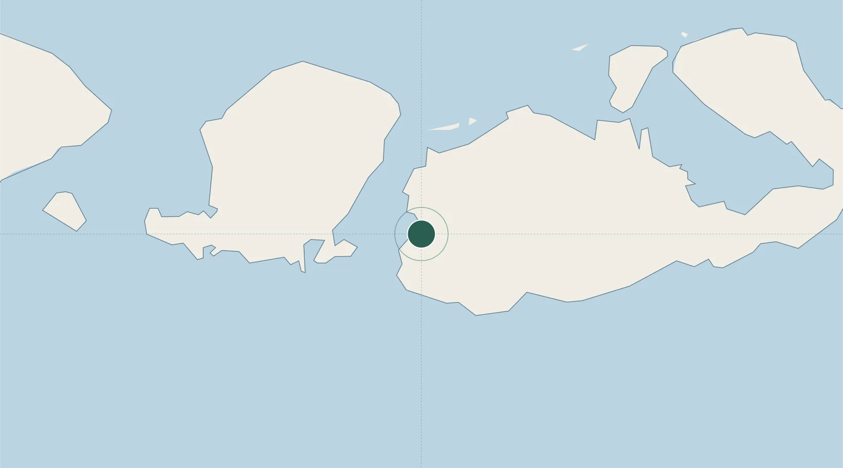
Nearby Logistics Neighbours

Cities
  1. 1Sunut30 km
  2. 2Poto Tano33 km
  3. 3Lombok39 km
  4. 4Kahyangan41 km
  5. 5Pelabuhan Badas73 km
Nearest neighbours — logibook spatial index (haversine) over the source coordinates
Ports
  1. 1Tanjung Benete12 km
  2. 2Ampenan87 km
  3. 3Benoa176 km
  4. 4Celukan Bawang229 km
  5. 5Panarukan341 km
Nearest neighbours — logibook spatial index (haversine) over the source coordinates
Airports
  1. 1Lombok International Airport60 km
  2. 2Sultan Muhammad Kaharuddin III Airport75 km
  3. 3Denpasar I Gusti Ngurah Rai International Airport181 km
  4. 4Discovery Kartika Plaza Heliport182 km
  5. 5Sultan Muhammad Salahuddin Airport208 km
Nearest neighbours — logibook spatial index (haversine) over the source coordinates
Trade Zones
  1. 1KEK Mandalika58 km
  2. 2Pasuruan Industrial Estate Rembang460 km
  3. 3Terpadu Takalar Industrial Estate470 km
  4. 4KEK Singhasari471 km
  5. 5Safe N Lock Industrial Estate473 km
Nearest neighbours — logibook spatial index (haversine) over the source coordinates
DatabookThe Record of Consolidated Knowledge
Indonesia beyond logistics?
Browse databook

All Sources

LocationsUN/LOCODE
UN/LOCODE — free
Portsthe NGA World Port Index
Public domain (US gov)
AirportsOurAirports
Public domain
Trade Zonesthe World Bank SEZ database
CC BY 4.0
Trade ZonesOpen Zone Map
CC BY
← Indonesia locations