Large airport · Indonesia

Denpasar I Gusti Ngurah Rai International AirportWADD
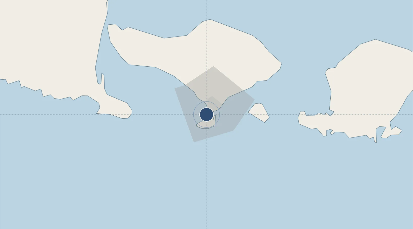
-8.7484°, 115.1671°
9,790 ft
Longest runway
1
Runways
14 ft
Elevation

Runway & Layout

Denpasar I Gusti Ngurah Rai International Airport runway & taxiway layout
Runway & taxiway layout — OpenStreetMap (ODbL) / OurAirports

Radio Frequencies

ATIS
126.2 MHz
TWR
118.1 MHz
NGURAH TWR
GND
118.8 MHz
NGURAH GND
APP
119.7 MHz
DIRECTOR
INFO
8.88 MHz
TMA
119.3 MHz
RADAR
OurAirports

Navaids

BLI VOR-DME Bali 116.20 MHz
OR NDB Bali 230 kHz
OurAirports

Runways · 1

RunwayDimensions SurfaceTrue headingLit
09/27 9,790 × 148ft Asphalt 088°
OurAirports

Airport Specifications

IATA code
DPS
OurAirports
ICAO code
WADD
OurAirports
Airport class
Large airport
OurAirports
Scheduled service
Yes
OurAirports
Runway surface
Asphalt
OurAirports
Served city
Kuta, Badung
OurAirports

Location

Location of WADD
Natural Earth 10m (public domain) · Bali · WADD · -8.75, 115.17GoogleOSMYandex

Nearby Logistics Neighbours

Airports
  1. 1Discovery Kartika Plaza Heliport2 km
  2. 2Lieutenant Colonel Wisnu Airfield91 km
  3. 3Banyuwangi Airport103 km
  4. 4Lombok International Airport122 km
  5. 5Notohadinegoro Airport172 km
Nearest neighbours — logibook spatial index (haversine) over the source coordinates
Cities
  1. 1Kuta4 km
  2. 2Benoa5 km
  3. 3Gatot Subroto Permai13 km
  4. 4Gianyar30 km
  5. 5Manggis48 km
Nearest neighbours — logibook spatial index (haversine) over the source coordinates
Ports
  1. 1Benoa5 km
  2. 2Celukan Bawang73 km
  3. 3Ampenan101 km
  4. 4Tanjung Benete175 km
  5. 5Panarukan179 km
Nearest neighbours — logibook spatial index (haversine) over the source coordinates
Trade Zones
  1. 1KEK Mandalika125 km
  2. 2Pasuruan Industrial Estate Rembang288 km
  3. 3KEK Singhasari295 km
  4. 4Safe N Lock Industrial Estate302 km
  5. 5Surabaya Industrial Estate - Rungkut309 km
Nearest neighbours — logibook spatial index (haversine) over the source coordinates
DatabookThe Record of Consolidated Knowledge
Indonesia beyond logistics?
Browse databook

All Sources

AirportsOurAirports
Public domain
Portsthe NGA World Port Index
Public domain (US gov)
LocationsUN/LOCODE
UN/LOCODE — free
Trade Zonesthe World Bank SEZ database
CC BY 4.0
Trade ZonesOpen Zone Map
CC BY
InfrastructureOpenStreetMap
ODbL 1.0
← Indonesia airports