Runway & Layout

Airport Specifications
Airport class
Heliport
Scheduled service
Yes
Served city
Kuta, Badung
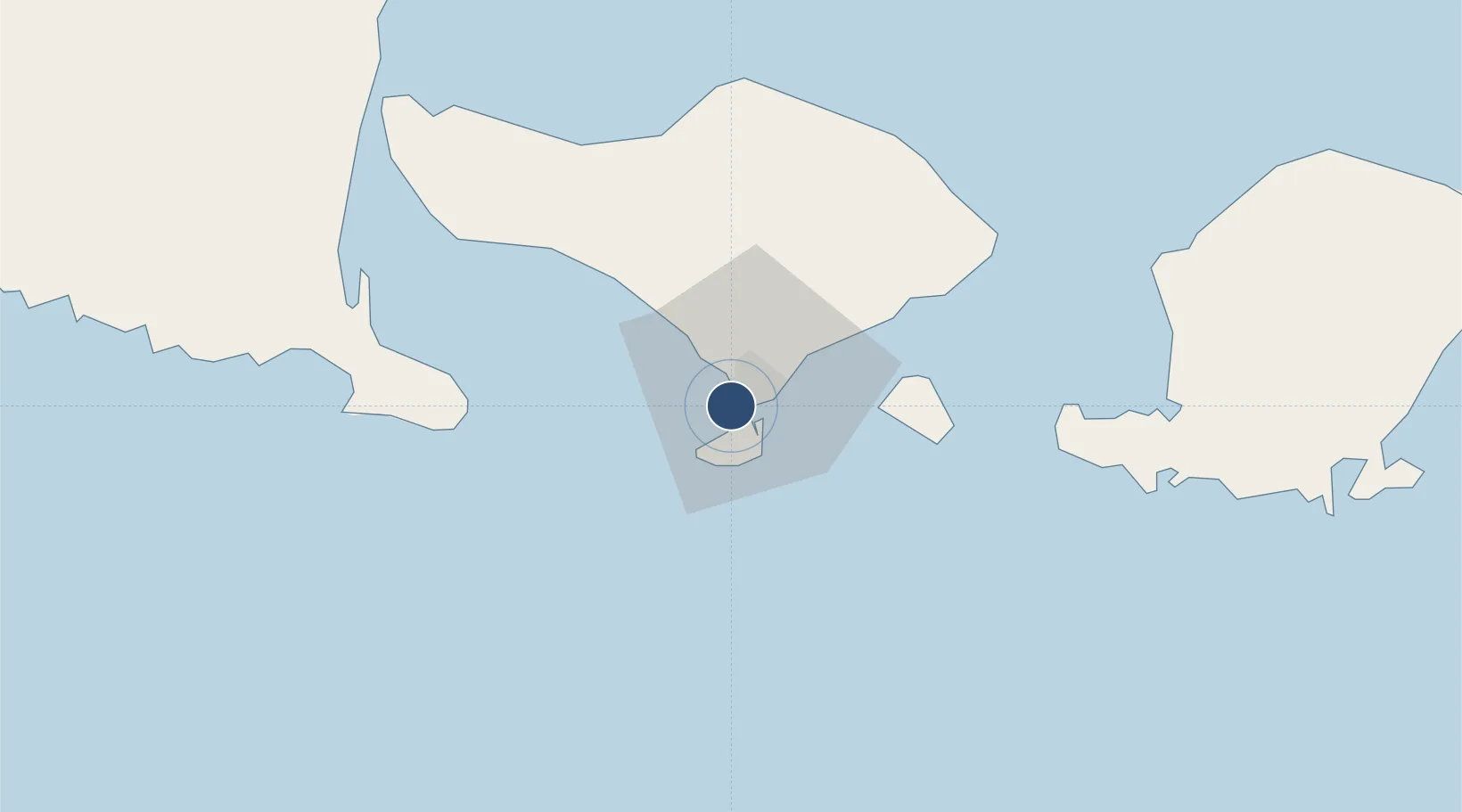
Location
Nearby Logistics Neighbours
Airports
Cities
- 1Kuta2 km
- 2Benoa5 km
- 3Gatot Subroto Permai11 km
- 4Gianyar28 km
- 5Manggis47 km
Ports
- 1Benoa6 km
- 2Celukan Bawang71 km
- 3Ampenan101 km
- 4Tanjung Benete175 km
- 5Panarukan178 km
Trade Zones
- 1KEK Mandalika126 km
- 2Pasuruan Industrial Estate Rembang286 km
- 3KEK Singhasari294 km
- 4Safe N Lock Industrial Estate301 km
- 5Surabaya Industrial Estate - Rungkut307 km
DatabookThe Record of Consolidated Knowledge
Indonesia beyond logistics?