Transport Functions
Port
Hub Profile
Place type
Populated place
Region
West Nusa Tenggara
Time zone
Asia/Makassar
Elevation
8 m
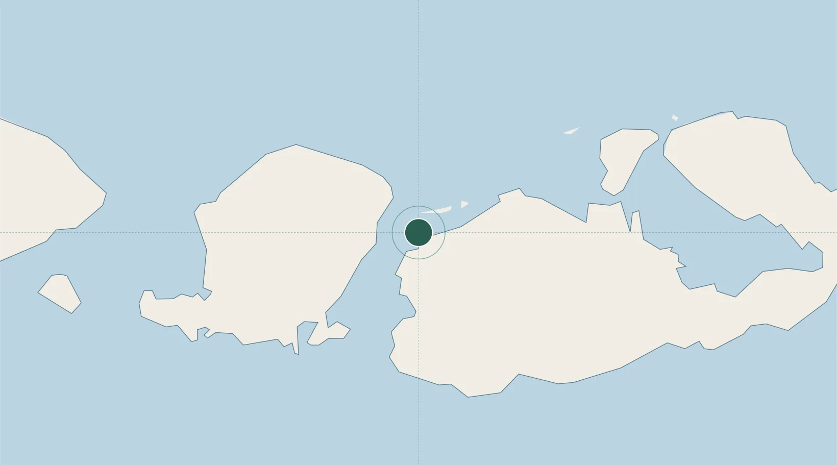
Location
Nearby Logistics Neighbours
Cities
- 1Lombok18 km
- 2Kahyangan19 km
- 3Cereweh33 km
- 4Sunut50 km
- 5Pelabuhan Badas59 km
Ports
- 1Tanjung Benete44 km
- 2Ampenan85 km
- 3Benoa180 km
- 4Celukan Bawang223 km
- 5Panarukan332 km
Airports
Trade Zones
- 1KEK Mandalika73 km
- 2Terpadu Takalar Industrial Estate443 km
- 3Pasuruan Industrial Estate Rembang453 km
- 4Safe N Lock Industrial Estate465 km
- 5KEK Singhasari467 km
DatabookThe Record of Consolidated Knowledge
Indonesia beyond logistics?