UN/LOCODE hub · Indonesia
IDBEN

Benete

-8.5942°, 116.1103°
1
Transport functions

Transport Functions

Port
Benete is also a profiled seaport →
UN/LOCODE

Hub Profile

Region
NB
GeoNames
Logistics facilities
1
UN/LOCODE

Location

Location of IDBEN
Natural Earth 10m (public domain) · NB · IDBEN · -8.59, 116.11GoogleOSMYandex

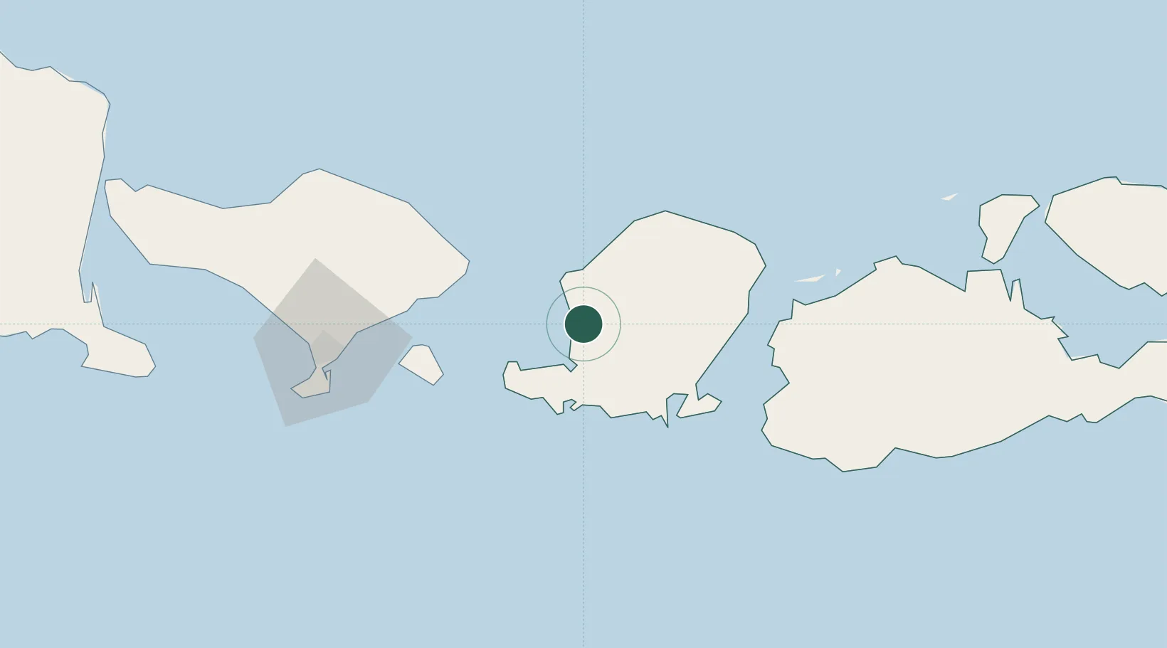
Nearby Logistics Neighbours

Cities
  1. 1Senggigi12 km
  2. 2Lembar15 km
  3. 3Sunut57 km
  4. 4Lombok62 km
  5. 5Kahyangan62 km
Nearest neighbours — logibook spatial index (haversine) over the source coordinates
Ports
  1. 1Ampenan6 km
  2. 2Benoa100 km
  3. 3Celukan Bawang148 km
  4. 4Panarukan259 km
  5. 5Probolinggo333 km
Nearest neighbours — logibook spatial index (haversine) over the source coordinates
Airports
  1. 1Lombok International Airport26 km
  2. 2Discovery Kartika Plaza Heliport105 km
  3. 3Denpasar I Gusti Ngurah Rai International Airport105 km
  4. 4Sultan Muhammad Kaharuddin III Airport144 km
  5. 5Lieutenant Colonel Wisnu Airfield172 km
Nearest neighbours — logibook spatial index (haversine) over the source coordinates
Trade Zones
  1. 1KEK Mandalika39 km
  2. 2Pasuruan Industrial Estate Rembang378 km
  3. 3KEK Singhasari390 km
  4. 4Safe N Lock Industrial Estate391 km
  5. 5Surabaya Industrial Estate - Rungkut395 km
Nearest neighbours — logibook spatial index (haversine) over the source coordinates
DatabookThe Record of Consolidated Knowledge
Indonesia beyond logistics?
Browse databook

All Sources

LocationsUN/LOCODE
UN/LOCODE — free
Portsthe NGA World Port Index
Public domain (US gov)
AirportsOurAirports
Public domain
Trade Zonesthe World Bank SEZ database
CC BY 4.0
Trade ZonesOpen Zone Map
CC BY
← Indonesia locations