Transport Functions
Road
Multimodal
Hub Profile
Place type
Provincial seat
Region
Managua Department
Time zone
America/Managua
Elevation
50 m
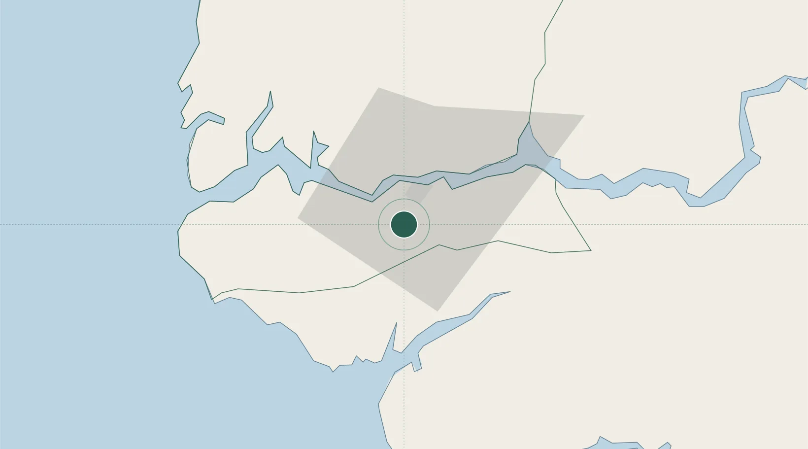
Location
Nearby Logistics Neighbours
Cities
- 1Ziguinchor10 km
- 2Cacheu31 km
- 3Sanyang98 km
- 4Canjaja104 km
- 5Bissau106 km
Ports
- 1Rio Cacheu25 km
- 2Bissau101 km
- 3Banjul110 km
- 4Lyndiane186 km
- 5Rufisque267 km
Airports
- 1Ziguinchor Airport6 km
- 2Cap Skirring Airport50 km
- 3Osvaldo Vieira International Airport97 km
- 4Banjul International Airport101 km
- 5Kaolack Airport185 km
Trade Zones
DatabookThe Record of Consolidated Knowledge
Nicaragua beyond logistics?