Export Processing Zone · Gambia

Banjul Airport Export Processing Zone Under Development
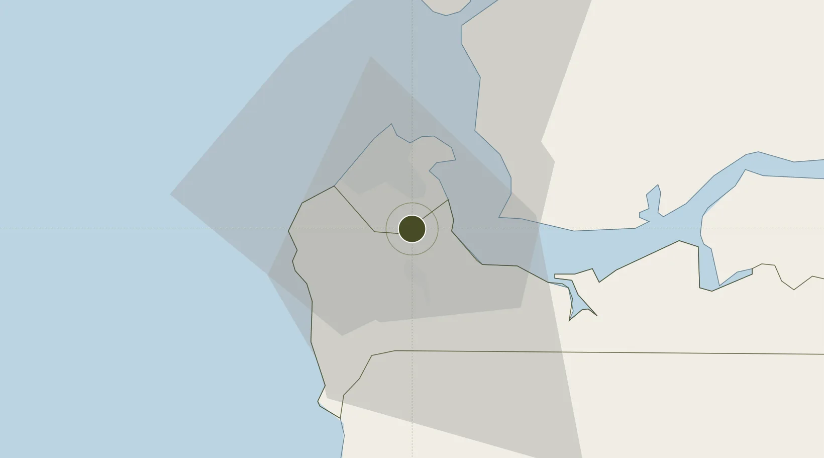
13.3421°, -16.6489°
160 ha
Zone area
14.9 km
Nearest port
0.6 km
Nearest airport

Gateway access

Nearest neighbours — logibook spatial index (haversine) over the source coordinates

Zone profile

Zone type
Export Processing Zone
the World Bank SEZ database
Region
West Coast
the World Bank SEZ database
Status
Under Development
the World Bank SEZ database
Established
2005
the World Bank SEZ database
Management
Public agency
the World Bank SEZ database
Operator
Gambia Investment and Export Promotion Agency
the World Bank SEZ database
Regulatory authority
The Gambia Investment Promotion and Free Zones Agency (GIEPA)
the World Bank SEZ database
Legal framework
Gambia Investment and Export Promotion Agency Act
the World Bank SEZ database

Location

Location of GMB1
Natural Earth 10m (public domain) · West Coast · GMB1 · 13.34, -16.65GoogleOSMYandex

Fiscal & incentives

Corporate tax
31%
the World Bank SEZ database
Tax relief
100% exempt
the World Bank SEZ database
Relief duration
10 years
the World Bank SEZ database
VAT
100% exempt from sales tax of imported goods and goods produced within zone for 10 years
the World Bank SEZ database
Import duty (inputs)
100% exempt
the World Bank SEZ database
Import duty (capex)
100% exempt
the World Bank SEZ database
Profit repatriation
No exemption
the World Bank SEZ database
Capital gains
No exemption
the World Bank SEZ database
Withholding tax
100% exempt from dividend tax for 10 years
the World Bank SEZ database
Min. investment
None
the World Bank SEZ database
Min. export
80%
the World Bank SEZ database
Employment incentive
100% exempt from payroll tax for 10 years
the World Bank SEZ database
Developer incentive
No established framework
the World Bank SEZ database

Nearby Logistics Neighbours

Ports
  1. 1Banjul15 km
  2. 2Lyndiane105 km
  3. 3Rio Cacheu126 km
  4. 4Rufisque166 km
  5. 5Dakar172 km
Nearest neighbours — logibook spatial index (haversine) over the source coordinates
Airports
  1. 1Banjul International Airport1 km
  2. 2Ziguinchor Airport96 km
  3. 3Cap Skirring Airport106 km
  4. 4Kaolack Airport110 km
  5. 5Blaise Diagne International Airport155 km
Nearest neighbours — logibook spatial index (haversine) over the source coordinates
Cities
  1. 1Sukuta9 km
  2. 2Sanyang14 km
  3. 3Banjul14 km
  4. 4Ziguinchor94 km
  5. 5San Francisco Libre101 km
Nearest neighbours — logibook spatial index (haversine) over the source coordinates
Trade Zones
  1. 1GIETAF Special Economic Zone2 km
  2. 2July 22 Business Park3 km
  3. 3Sandiara Special Economic Zone123 km
  4. 4Ndayane Port Special Economic Zone144 km
  5. 5Dakar Integrated Special Economic Zone155 km
Nearest neighbours — logibook spatial index (haversine) over the source coordinates
DatabookThe Record of Consolidated Knowledge
Gambia beyond logistics?
Browse databook

All Sources

Trade Zonesthe World Bank SEZ database
CC BY 4.0
Portsthe NGA World Port Index
Public domain (US gov)
AirportsOurAirports
Public domain
LocationsUN/LOCODE
UN/LOCODE — free
← Gambia trade zones