Export Processing Zone · Gambia

GIETAF Special Economic Zone Active
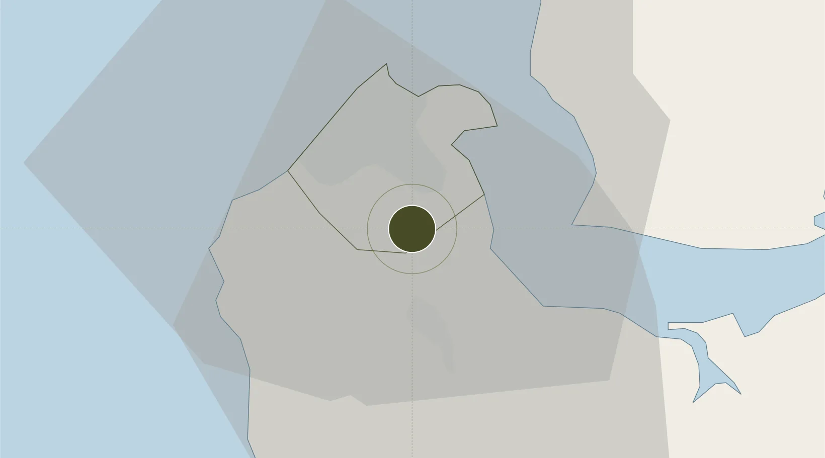
13.3555°, -16.6573°
160 ha
Zone area
14.4 km
Nearest port
2.0 km
Nearest airport

Gateway access

Nearest neighbours — logibook spatial index (haversine) over the source coordinates

Zone profile

Zone type
Export Processing Zone
Open Zone Map
Region
Banjul
Open Zone Map
Status
Active
Open Zone Map
Management
Public-Private Partnership
Open Zone Map
Operator
Gambia Investment and Export Promotion Agency, Africa Global Limited
Open Zone Map
Legal framework
Gambia Investment Promotion Act of 2001
Open Zone Map

Location

Location of ozm-2032
Natural Earth 10m (public domain) · Banjul · ozm-2032 · 13.36, -16.66GoogleOSMYandex

Nearby Logistics Neighbours

Ports
  1. 1Banjul14 km
  2. 2Lyndiane105 km
  3. 3Rio Cacheu128 km
  4. 4Rufisque164 km
  5. 5Dakar170 km
Nearest neighbours — logibook spatial index (haversine) over the source coordinates
Airports
  1. 1Banjul International Airport2 km
  2. 2Ziguinchor Airport98 km
  3. 3Cap Skirring Airport107 km
  4. 4Kaolack Airport110 km
  5. 5Blaise Diagne International Airport153 km
Nearest neighbours — logibook spatial index (haversine) over the source coordinates
Cities
  1. 1Sukuta7 km
  2. 2Banjul14 km
  3. 3Sanyang14 km
  4. 4Ziguinchor95 km
  5. 5San Francisco Libre103 km
Nearest neighbours — logibook spatial index (haversine) over the source coordinates
Trade Zones
  1. 1July 22 Business Park1 km
  2. 2Banjul Airport Export Processing Zone2 km
  3. 3Sandiara Special Economic Zone121 km
  4. 4Ndayane Port Special Economic Zone142 km
  5. 5Dakar Integrated Special Economic Zone154 km
Nearest neighbours — logibook spatial index (haversine) over the source coordinates
DatabookThe Record of Consolidated Knowledge
Gambia beyond logistics?
Browse databook

All Sources

Trade ZonesOpen Zone Map
CC BY
Portsthe NGA World Port Index
Public domain (US gov)
AirportsOurAirports
Public domain
LocationsUN/LOCODE
UN/LOCODE — free
← Gambia trade zones