Transport Functions
Port
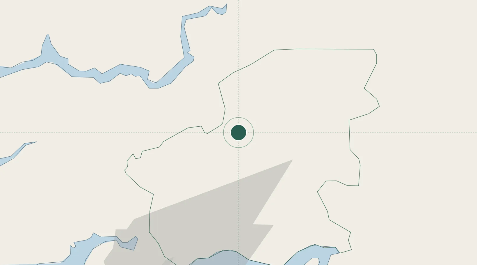
Location
Nearby Logistics Neighbours
Ports
- 1Bissau65 km
- 2Rio Cacheu97 km
- 3Banjul177 km
- 4Kamsar210 km
- 5Lyndiane217 km
Airports
- 1Osvaldo Vieira International Airport64 km
- 2Ziguinchor Airport103 km
- 3Cap Skirring Airport152 km
- 4Banjul International Airport177 km
- 5Kaolack Airport210 km
Trade Zones
DatabookThe Record of Consolidated Knowledge
Guinea-Bissau beyond logistics?