Transport Functions
Port
Airport
Hub Profile
Place type
Regional capital
Region
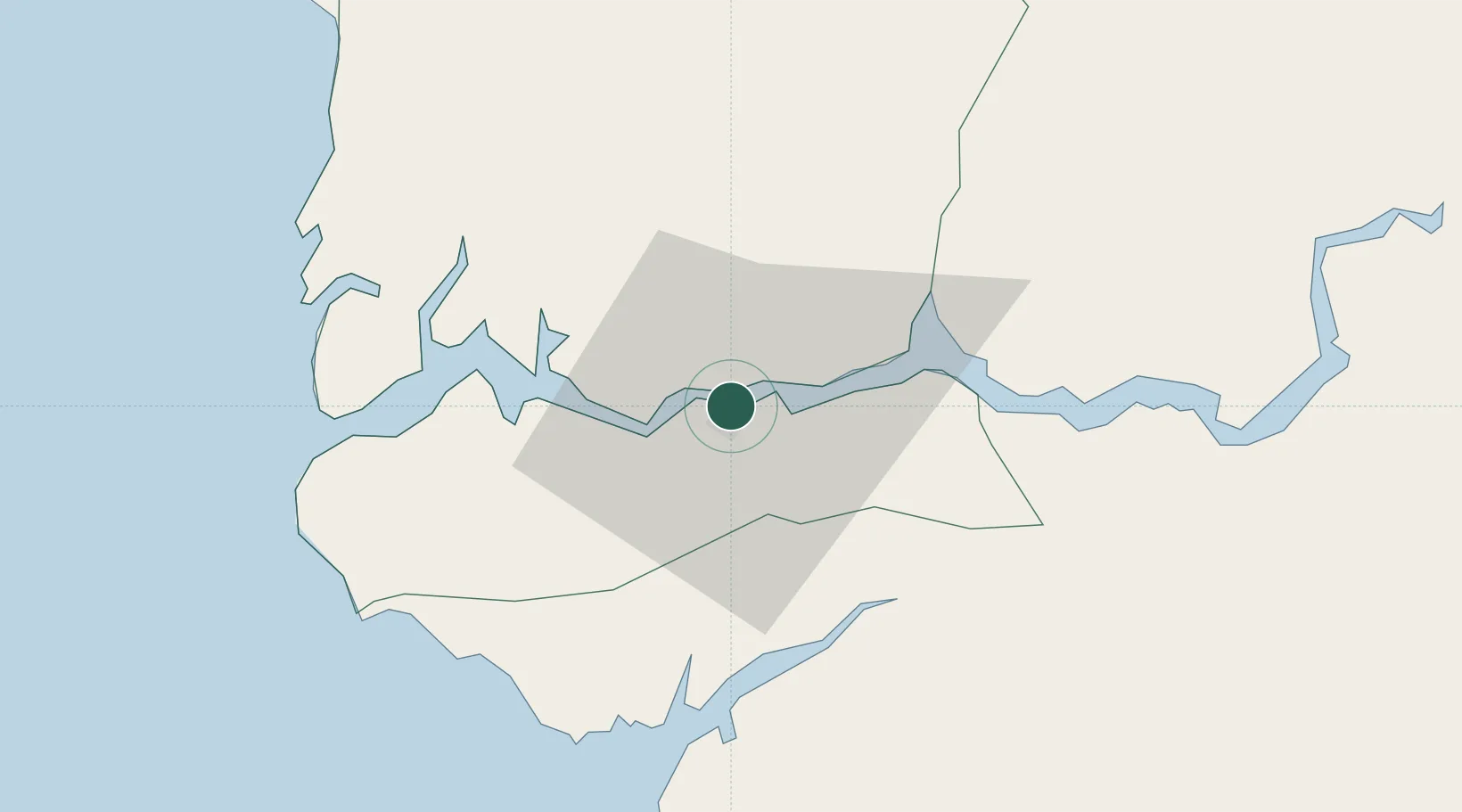
Ziguinchor
Population
214,874
Time zone
Africa/Dakar
Elevation
19 m
Logistics facilities
1
Location
Nearby Logistics Neighbours
Cities
- 1San Francisco Libre10 km
- 2Cacheu38 km
- 3Sanyang92 km
- 4Sukuta102 km
- 5Banjul102 km
Ports
- 1Rio Cacheu34 km
- 2Banjul101 km
- 3Bissau106 km
- 4Lyndiane176 km
- 5Rufisque259 km
Airports
- 1Ziguinchor Airport4 km
- 2Cap Skirring Airport56 km
- 3Banjul International Airport93 km
- 4Osvaldo Vieira International Airport102 km
- 5Kaolack Airport175 km
Trade Zones
DatabookThe Record of Consolidated Knowledge
Senegal beyond logistics?