UN/LOCODE hub · Guinea-Bissau
GWOXB
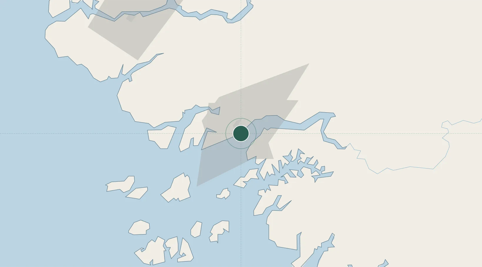
Bissau
11.8500°, -15.5833°
439,704
Population
4
Transport functions
Transport Functions
Port
Road
Airport
Postal
Hub Profile
Place type
National capital
Region
Bissau
Population
439,704
Time zone
Africa/Bissau
Elevation
13 m
Location
Nearby Logistics Neighbours
Ports
- 1Rio Cacheu86 km
- 2Kamsar172 km
- 3Banjul207 km
- 4Lyndiane265 km
- 5Conakry330 km
Airports
- 1Osvaldo Vieira International Airport9 km
- 2Ziguinchor Airport109 km
- 3Cap Skirring Airport140 km
- 4Banjul International Airport202 km
- 5Kaolack Airport260 km
Trade Zones
DatabookThe Record of Consolidated Knowledge
Guinea-Bissau beyond logistics?