Transport Functions
Port
Road
Hub Profile
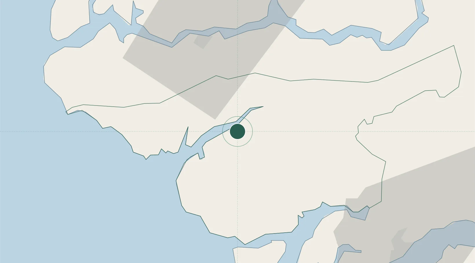
Place type
Regional capital
Region
Cacheu
Population
10,490
Time zone
Africa/Bissau
Elevation
18 m
Location
Nearby Logistics Neighbours
Cities
- 1San Francisco Libre31 km
- 2Ziguinchor38 km
- 3Bissau77 km
- 4Canjaja88 km
- 5Binta92 km
Airports
- 1Ziguinchor Airport35 km
- 2Cap Skirring Airport67 km
- 3Osvaldo Vieira International Airport68 km
- 4Banjul International Airport131 km
- 5Kaolack Airport209 km
Trade Zones
DatabookThe Record of Consolidated Knowledge
Guinea-Bissau beyond logistics?