Transport Functions
Port
Hub Profile
Place type
Populated place
Region
Oio
Time zone
Africa/Bissau
Elevation
14 m
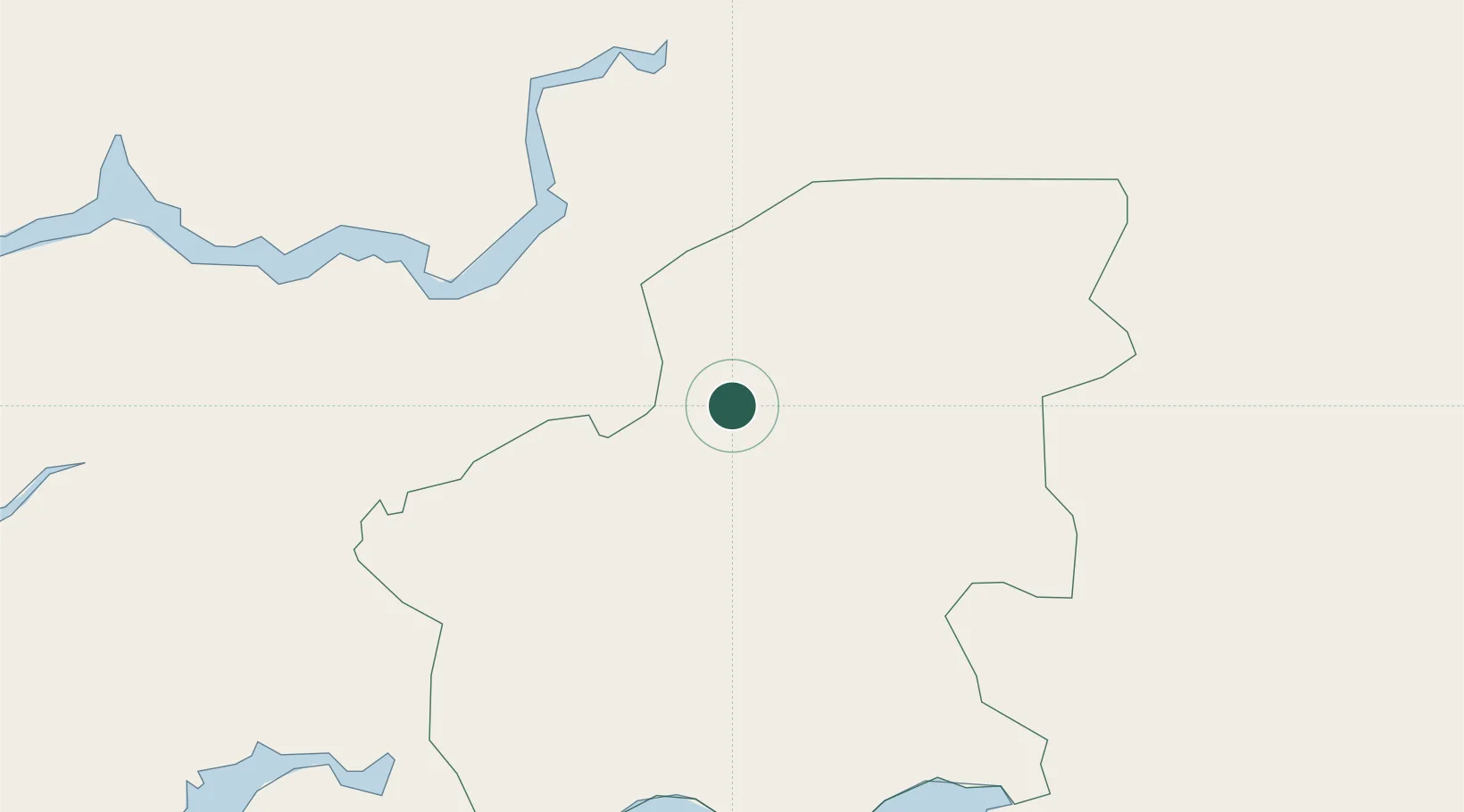
Location
Nearby Logistics Neighbours
Ports
- 1Bissau70 km
- 2Rio Cacheu101 km
- 3Banjul178 km
- 4Kamsar213 km
- 5Lyndiane215 km
Airports
- 1Osvaldo Vieira International Airport69 km
- 2Ziguinchor Airport106 km
- 3Cap Skirring Airport156 km
- 4Banjul International Airport177 km
- 5Kaolack Airport208 km
Trade Zones
DatabookThe Record of Consolidated Knowledge
Guinea-Bissau beyond logistics?